What is recorded here
No gate, no seam, no visible way in. The earth folded into a 46m ring with a broad fosse and broken outer bank, as if entry belonged to memory rather than footsteps. People may have lived inside the fort or feared what it hid; the shape still refuses explanation.
A circular area (diam. c. 46m) defined by an inner bank (Wth c. 2m, int. H c. 0.5m, ext. H c. 3-4m), intervening fosse (Wth c. 7.9m) and the remains of an outer bank(Wth c. 2m, H c. 0.5m) at S and W. No evidence of original entrance.
The above description is derived from the published 'Archaeological Inventory of County Laois' (Dublin Stationery Office, 1995) compiled by P. David Sweetman, Olive Alcock and Bernie Moran. In certain instances the entries have been revised and updated in the light of recent research.
Date of upload: 17 December 2007
The monument record does not grant public access. Check the route and ask the landowner before entering private land.
- What survives
- Recorded monument
Places near here
 Ecclesiastical enclosure in KildelligEcclesiastical enclosure · 716 yd
 CastleCastle, motte · 734 yd
 Enclosure in Beckfield,tinnaclohyEnclosure · 1.1 mi
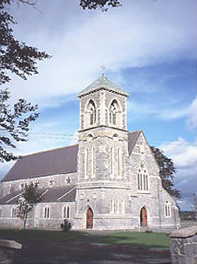 Saint Canice's Catholic Churchchurch/chapel · 1.7 mi
 Aghaboe Abbey (in Ruins)Religious house, Dominican friars · 1.8 mi
 Aghaboe MoatCastle, motte and bailey · 1.9 mi
 European PearEuropean Pear · 3.4 mi
 Big WoodWood · 3.9 mi
 Cnoc SeanrathaMemorial · 7.4 mi
 Black HillMountain / peak · 8.6 mi
 Saint Kieran's WellSpring · 9.1 mi
 Anker's IslandIsland · 9.9 mi