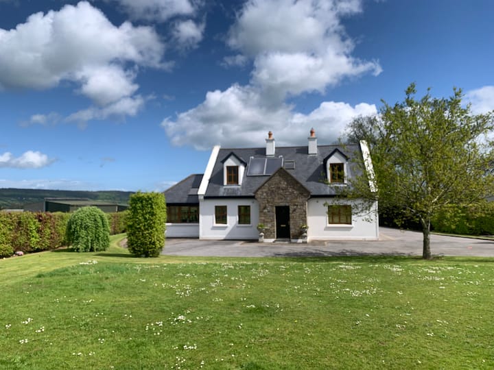
What is recorded here
Lissawan is a fairy fort or earthen ringfort in Kilcommon More (south), County Tipperary, Ireland. It occupies a north-east-facing ridge slope above the Suir valley. Reclamation flattened the site, yet a 6.9-metre-wide bank, a 4.1-metre-wide ditch and a probable outer bank still mark the 30-metre enclosure.
On the NE-facing slope of a ridge which drops sharply (c.10m) to the Suir river valley to the N, immediately N of the monument. The slope is planted with a mixture of conifers and deciduous trees. The ringfort (diam. c. 30m N-S and E-W) slopes quite steeply to the N with the natural slope. The field has been reclaimed and the ringfort has been flattened but is still evident as an internal area enclosed by a flattened bank (Wth 6.9m; int. H 0.24m; ext. H 0.3m); fosse (Wth 4.1m; D 0.9m) and probable external bank (Wth 8.2m; ext. H 0.12m), particularly evident in the S quadrant. The bank peters out towards the edge of the precipice where no outer defence would have been needed. There is no surviving evidence of an entrance feature. The ringfort is indicated but not named on the 1st (1840) ed. OS 6-inch map.
Compiled by: Jean Farrelly
Date of upload: 08 January 2014
The monument record does not grant public access. Check the route and ask the landowner before entering private land.
- What survives
- Recorded monument
Places near here
 Pedunculate OakPedunculate Oak · 321 yd
 Site of ChurchChurch · 344 yd
 Enclosure in LissakyleEnclosure · 705 yd
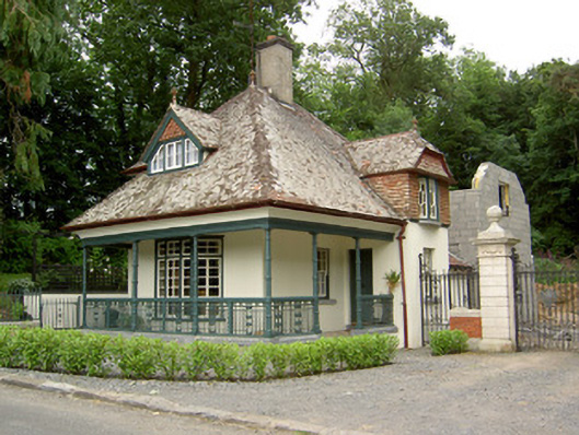 Ballybrada Housegate lodge · 739 yd
 Cottagehill WoodForest · 984 yd
 Swiss Cottagecottage ornee · 1220 yd
 Castle (in ruins)Castle, unclassified · 1.4 mi
 Bawn in RochestownBawn · 1.5 mi
 Woodcock HillMountain / peak · 1.7 mi
 Cahir CastleHeritage attraction · 1.8 miSiege of Cahir Castlesiege · 2.0 mi
 Caher AbbeyHeritage attraction · 2.2 mi
Other information
Photo: Credit not shown in the picture search · Rights wording not checked; contact us if this picture should be removed