
What is recorded here
Hut site in Kilclooney is a hut site in Kilclooney, County Waterford, Ireland. It sits on a small shelf of a southwest-facing slope on a northwest-southeast spur on the east side of the Monavullagh Mountains, with the shelf falling away west to the north-south Mahon Oge stream about sixty metres to the west. A D-shaped grass-covered area is defined by a stone wall, measuring 0.4 metres wide at the south and 0.7 metres at the east, with a right angle at the southeast corner and a flush inner face. There is no visible entrance, a clearance cairn lies about fifteen metres to the north, and an enclosure is about 120 metres to the north-northeast.
Situated on a small shelf of a SW-facing slope on a NW-SE spur on the E side of the Monavullagh Mountains. The shelf falls away W to the N-S Mahon Oge stream c. 60m to the W. D-shaped grass-covered area (int. diam. 3.4m N-S, 2.75m E-W; ext. diam. 4.4m N-S, 5.4m E-W) defined by a stone wall (Wth 0.4m and 0.7m at S and E respectively), with a right angle at the SE corner and a flush inner face. There is no visible entrance. There is a clearance cairn c. 15m to N and enclosure (WA014-039----) is c. 120m to the NNE.
Compiled by: Michael Moore
Date of upload: 19 November 2010
The monument record does not grant public access. Check the route and ask the landowner before entering private land.
- What survives
- Recorded monument
Places near here
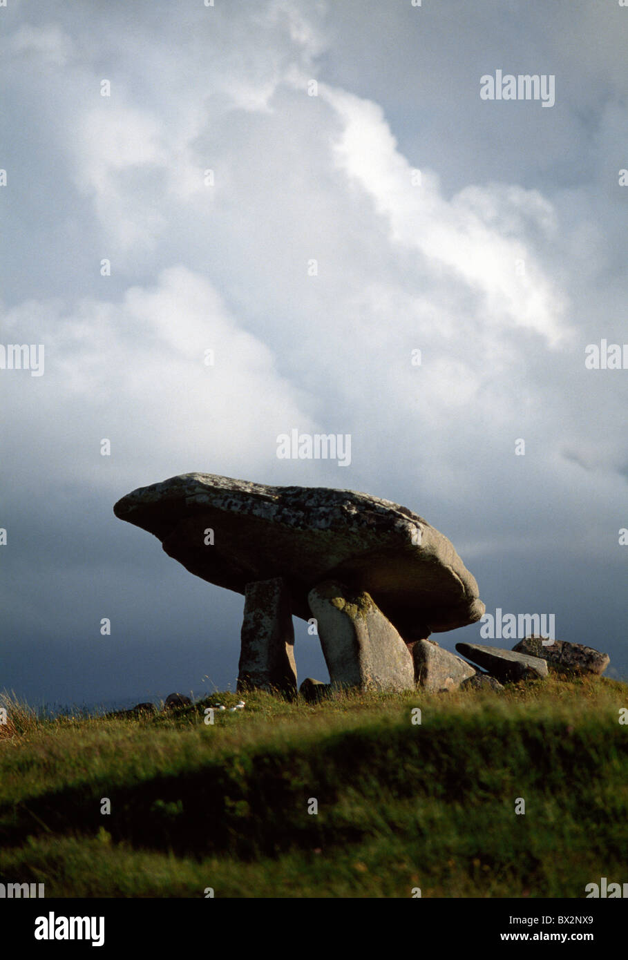 IndicatedEnclosure · 147 yd
 CairnCairn, unclassified · 1346 yd
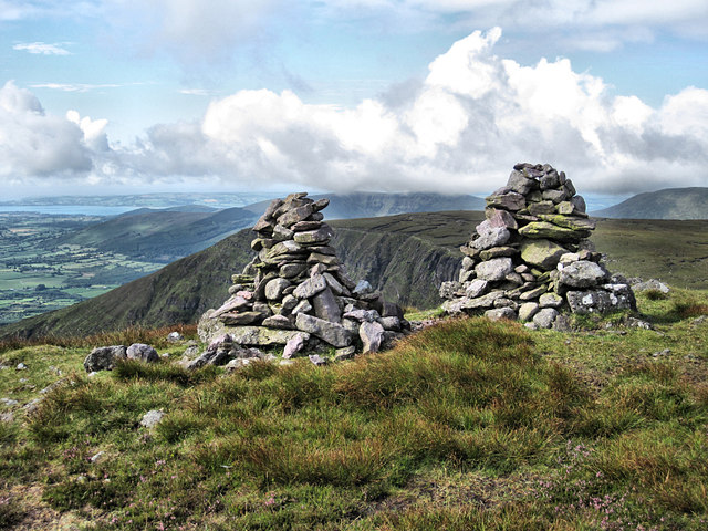 KnockaunapeebraMountain / peak · 1356 yd
 Mahon ValleyCliff · 1437 yd
 Mahon FallsWaterfall · 1552 yd
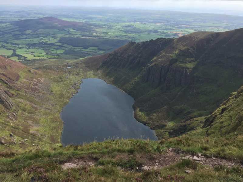 Kilclooney MountainMountain / peak · 1708 yd
 Magic Road (start)Heritage attraction · 1.2 mi
 Kilclooney WoodForest · 1.4 mi
 Crough WoodWood · 1.6 mi
 Palliser MillRuins · 1.8 mi
 Rockmounthouse · 2.2 mi
 The Boolas Linear TrailWalking route · 2.4 mi
Other information
Photo: Credit not shown in the picture search · Rights wording not checked; contact us if this picture should be removed