What is recorded here
In tillage. A roughly circular ring-ditch (dims. c. 8m) identified as a cropmark on Google Earth Pro imagery (imagery date 14 July 2018) by Jean-Charles Caillère. There are a number of other ring-ditches nearby, CW016-147001- c. 40m to the NNW, CW016-147003- c. 15m to the ESE and CW016-147004- c. 23m to the SSE.
See attached image:
CW016-147001-_02 Google Earth Pro imagery
Compiled by: Jean Farrelly
Date of upload: 4 September 2019
The monument record does not grant public access. Check the route and ask the landowner before entering private land.
- What survives
- Recorded monument
Places near here
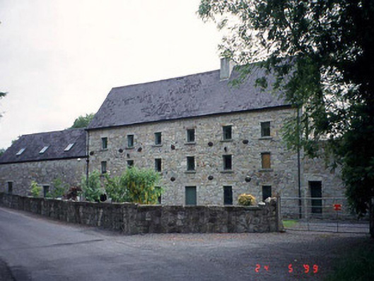 mill (water)mill (water) · 553 yd
 Wych ElmWych Elm · 1121 yd
 Enclosure in BallymoonEnclosure · 1245 yd
 CastleCastle, motte · 1315 yd
 Dunleckny Churchchurch/chapel · 1345 yd
 Enclosure in BohermoreEnclosure · 1425 yd
 Sweet ChestnutSweet Chestnut · 1468 yd
 Dunleckny Ho.Castle, unclassified · 1505 yd
 The Columban WayVisitor information · 1.1 mi
 Lock Keeper's House and Lodge MillsVisitor information · 1.6 mi
 Church (in ruins), GraveyardChurch · 2.6 mi
 Church, GraveyardChurch · 3.0 mi