What is recorded here
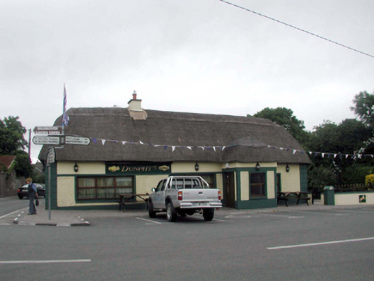
Detached four-bay single-storey thatched cottage, c.1870, on a corner site with two-bay single-storey return to north. Extensively renovated, c.1970, with openings remodelled, and single-bay single-storey projecting porch added to accommodate commercial use. Extensively renovated and extended, c.1995, comprising two-bay single-storey block to north-east having single-bay single-storey flat-roofed lower linking bay, and four-bay single-storey return to north. Hipped roof on an L-shaped plan with replacement thatch, c.1995, having rope work to ridges, and rendered chimney stack. Hipped fibre-cement slate roof to projecting block with concrete ridge tiles, square rooflights, and uPVC rainwater goods on timber eaves. Flat bitumen felt roof to linking bay with timber eaves. Pitched artificial slate roof to additional return with red clay ridge tiles, rendered chimney stack, and uPVC rainwater goods on timber eaves. Painted replacement roughcast walls, c.1970, with rendered quoined piers to corners, and rendered band over openings. Painted cement rendered walls to additional return with rendered strips to ends, and rendered band to eaves. Square-headed window openings remodelled, c.1970, with replacement concrete sills, c.1970, and replacement timber casement windows, c.1995. Square-headed door opening with replacement timber panelled door, c.1995, having sidelight. Road fronted on a corner site with concrete brick cobbled footpath to front.
Although considerably altered over the course of the late twentieth century, this cottage remains an important element of the vernacular heritage of County Waterford, as identified by the long, low massing that remains intact, together with the thatched roof. The cottage remains an important feature in the streetscape of Kill, occupying an important corner site in the centre of the village.
This does not grant access. Most recorded buildings are privately owned; view them only from public ground unless the owner allows entry.
Places near here
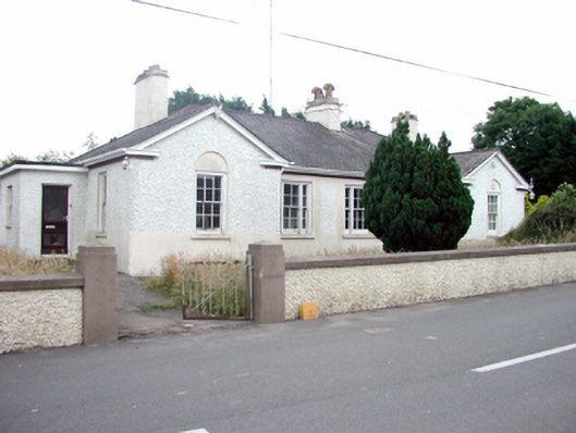 Kill Garda Síochána StationOfficially recorded historic building · 73 yd
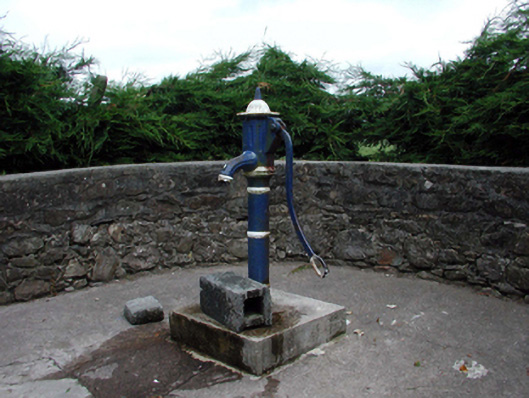 Historic buildingOfficially recorded historic building · 158 yd
 Burnt mound in KilbarrymeadenBurnt mound · 775 yd
 Embanked enclosureFairy fort / ringfort · 1315 yd
 St. Bernard's WellSpring · 1.0 mi
 St. Martin's WellSpring · 1.3 mi
 Tankardstown 19th Century Copper Mining GeoparkHeritage attraction · 2.6 mi
 Mandevilles RockCastle, unclassified · 2.7 mi
 Copper CoastCoastal geological landscape · 2.7 mi
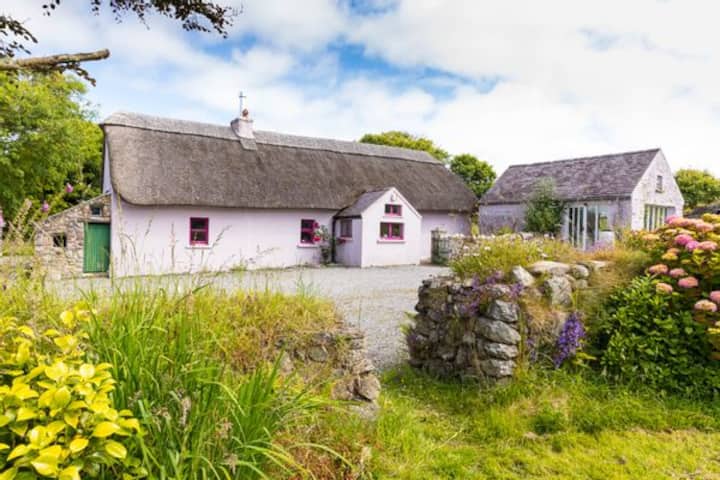 Kilmurrin CoveBeach / strand · 2.7 mi
 Geological GardenVisitor information · 2.8 mi
 Miners BucketVisitor information · 2.8 mi
Other information
Photo: National Inventory of Architectural Heritage · Website use allowed for educational or private purposes with source credit