What is recorded here
In tillage, at base of N-facing slope. Spread of burnt material (22.6m N-S; 18.6m E-W); indicated by very low rise. Two other fulachta fiadha (CO089-00301-; CO089-002---) a short distance to W.
The above description is derived from the published 'Archaeological Inventory of County Cork. Volume 2: East and South Cork' (Dublin: Stationery Office, 1994). In certain instances the entries have been revised and updated in the light of recent research.
Date of upload/revision: 14 January 2009
The monument record does not grant public access. Check the route and ask the landowner before entering private land.
- What survives
- Recorded monument
Places near here
 Burnt mound in BallybranaghBurnt mound · 729 yd
 Enclosure in BallybranaghEnclosure · 872 yd
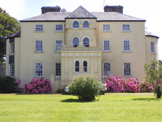 Kilcrone Housecountry house · 1439 yd
 Kilboy Ho.Country house · 1.0 mi
 CastleCastle, tower house · 1.3 mi
 PohutukawaPohutukawa · 2.2 mi
 PrincesstreePrincesstree · 2.3 mi
 Ballycroneen BeachBeach / strand · 3.0 mi
 Ballybrannigan BeachBeach / strand · 3.4 mi
 Anchor The SagaMemorial · 3.6 mi
 Castle (in Ruins)Castle, tower house · 4.0 mi
 Garrankinnefeake GraveyardRuins · 4.0 mi