What is recorded here
Struicín is recorded as a mountain / peak in County Kerry. Its open map record supplies this location and any linked names or public references.
Struicín is a minor peak in County Kerry, Ireland, with an elevation of approximately 500 to 600 meters. It is part of the broader MacGillycuddy's Reeks range, an area known for its ancient geological formations and as the location of Ireland's highest mountain, Carrauntoohil. The region holds cultural significance in Irish folklore and is valued for its natural beauty and hiking opportunities.
Places near here
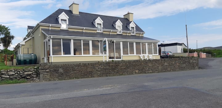 Hut site in Cill UrlaíHut site · 78 yd
 KillurlyMountain / peak · 832 yd
 Holy well in Cill UrlaíHoly well · 1102 yd
 Tráigh LeagaighBeach / strand · 1439 yd
 Cuas an tSrutháin/Cove of the StreamBay · 1459 yd
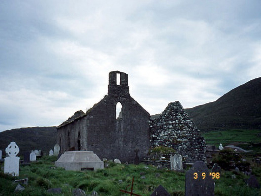 Séipéal na Cille [Killemlagh Catholic Chapel]church/chapel · 1532 yd
 Cuas an tSoithighBay · 1533 yd
 Chaytor's StablesRuins · 1580 yd
 Tráigh na CilleBeach / strand · 1750 yd
 Cuas a' PhúcaCave · 1.1 mi
 Bogha SínMountain / peak · 2.1 mi
 Liberator "63939" monumentMemorial · 2.2 mi