
What is recorded here
There is now no apparent trace of this holy well which was locally known as Tobar na bPaidreacha. It was located on an E facing slope, c. 75m NW of a ceallúnach burial ground (KE097-003----), and was apparently covered by a flat slab. A stone which stood beside it bore 'markings' and 'writing' (local information). The well was filled in the 1930s and the present whereabouts of the upright stone is unknown.
The above description is derived from A. O'Sullivan and J. Sheehan (compilers), 'The Iveragh peninsula: an archaeological survey of South Kerry'. Cork University Press (1996), no. 1076. In certain instances the entries have been revised and updated in the light of recent research.
Date of upload: 31 July 2013
Linked to Saint Urlaí (or St. Orla), this holy well was traditionally associated with cures for skin ailments and general healing. The name Tobar na bPaidreacha ("Well of the Bishops") suggests a possible ecclesiastical or pilgrimage tradition connected to the site.
The monument record does not grant public access. Check the route and ask the landowner before entering private land.
- What survives
- Recorded monument
Places near here
 Cloch Oghaim/Ogham Stone.Archaeological place · 445 yd
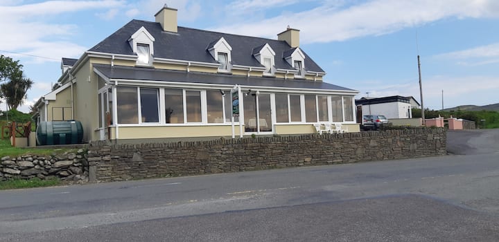 Hut site in Cill UrlaíHut site · 1035 yd
 KillurlyMountain / peak · 1090 yd
 Reglaish Church (in Ruins)Church · 1587 yd
 Chaytor's StablesRuins · 1.2 mi
 Tráigh LeagaighBeach / strand · 1.4 mi
 Cuas an tSrutháin/Cove of the StreamBay · 1.4 mi
 Cuas na gCré BhuíBay · 1.5 mi
 Trá an GhleanntáinBeach / strand · 1.6 mi
 Cuas a' PhúcaCave · 1.7 mi
 Ballinskelligs Castle (in Ruins)Castle, tower house · 1.9 mi
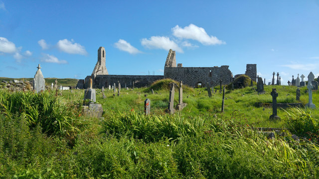 Ballinskelligs PrioryVisitor information · 2.1 mi
Other information
Photo: Credit not shown in the picture search · Rights wording not checked; contact us if this picture should be removed