
What is recorded here
Inis Tuaisceart is a 241-acre cliff-ringed island four miles off the Dingle Peninsula, where a low stone arc and a single grave mark an Early Christian retreat linked to St. Brendan. The northern half remains untouched by settlement, while the southern half preserves a small field system beside the fragile hut site. Thin soil and exposed rock have stripped away most traces of life, leaving only this much behind for the sea and wind to keep.
Inis Tuaisceart is recorded as a island in County Kerry. Its open map record supplies this location and any linked names or public references.
Inis Tuaisceart is a small island located off the coast of County Kerry, Ireland, and is part of the Dingle Peninsula's scattered islet group. It is notable for its archaeological remains, including prehistoric cairns and ring forts, reflecting early human settlement and activity in the region.
Places near here
 Field system in Inis TuaisceartField system · 418 yd
 Church in Inis TuaisceartChurch · 434 yd
 Cliff-edge fort in An Blascaod MórCliff-edge fort · 3.1 mi
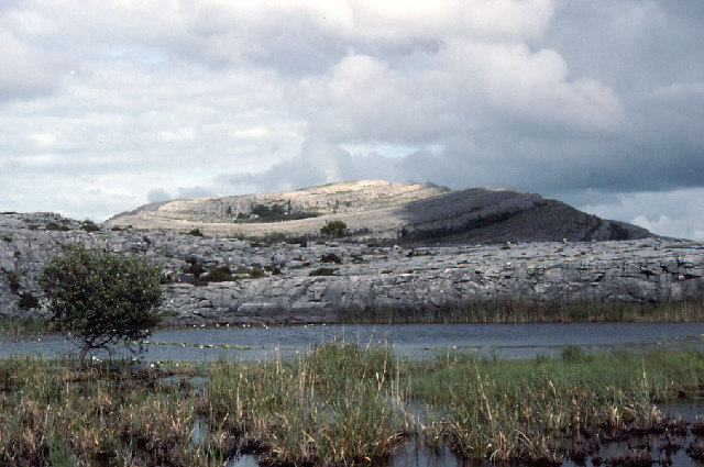 An Mullach RamharMountain / peak · 3.1 mi
 An Blascaod MórIsland · 3.2 mi
 An Cró MórMountain / peak · 3.2 mi
 Oileán na nÓgIslet · 3.3 mi
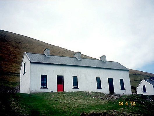 Tigh Peig Sayers [Peig Sayers's House]house · 3.4 mi
 An Dún MórHeadland · 4.6 mi
 Dunmore HeadViewpoint · 4.6 mi
 Ceann SrathaNamed rock · 4.9 mi
 An TiarachtIslet · 4.9 mi
Other information
Photo: Frances Passey · CC BY-SA 2.0