
What is recorded here
Rathbeg, meaning small ringfort, appears on the 1842 map as a large circular enclosure containing a cave, yet that size and interior feature vanished from later records before the earthworks disappeared entirely. The paradox of a small name wrapping a large space suggests human hands kept reshaping the site long after it stopped being a home. What is gone is not nothing; it is a shape the land forgot, waiting for someone to imagine the doors, the dark passage and the people who used them.
Rathbeg is recorded as a archaeological place in County Kerry. Its open map record supplies this location and any linked names or public references.
Places near here
 Faha FortArchaeological place · 829 yd
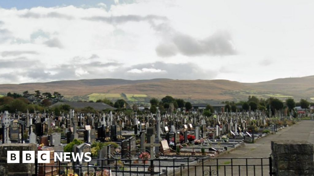 Man-made underground passage in Kill (clanmaurice By.)Man-made underground passage · 1000 yd
 CastleCastle, unclassified · 1.4 mi
 Catholic Church of the Sacred Heartchurch/chapel · 1.6 mi
 Our Lady's Holy WellSpring · 1.6 mi
 Ballyheige Castlecountry house · 1.9 mi
 Castle (in ruins)Castle, unclassified · 3.0 mi
 Banna StrandBeach / strand · 3.0 mi
 Ardfert CathedralHeritage attraction · 3.2 mi
 15th Centenary of the birth of St-BredanMemorial · 3.2 mi
 Ardfert FriaryVisitor information · 3.3 mi
 Ardfert Franciscan FriaryVisitor information · 3.3 mi
Other information
Photo: Credit not shown in the picture search · Rights wording not checked; contact us if this picture should be removed