
What is recorded here
Leacanabuaile is a circular stone ringfort built around the ninth century AD as a defended farmstead on a steep hillside near Caherciveen. Its Irish name means hillside of the milking-place, suggesting that milk, butter and household labour mattered as much as defence. Inside its thick drystone wall stand three beehive houses and a narrow souterrain, while iron knives, bone combs and millstones recovered there hint at an ordinary life lived sharply and cleanly.
Leacanabuile Ring Fort is recorded as a archaeological place in County Kerry. Its open map record supplies this location and any linked names or public references.
Places near here
 Cathar-na-CathFairy fort / stone ringfort · 266 yd
 KilnKiln, corn-drying · 318 yd
 Cahergal Ring FortArchaeological place · 413 yd
 Ballycarbery CastleRuins · 1158 yd
 Ballycarbery Castle (in ruins)Castle, hall-house · 1161 yd
 CastleCastle, unclassified · 1161 yd
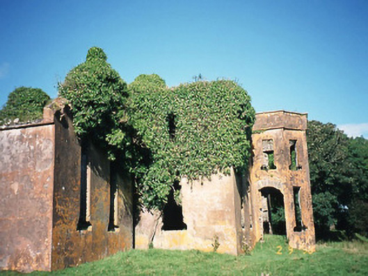 Castlequincountry house · 1.0 mi
 Foughil IslandIslet · 1.1 mi
 White Strand BeachBeach / strand · 1.2 mi
 Killelan MountainMountain / peak · 1.9 mi
 SlievaghMountain / peak · 2.0 mi
 Beginish IslandIsland · 2.2 mi
Other information
Photo: Peter Moore (Moorso) · CC BY-SA 3.0