What is recorded here
Cropmark of fosse of circular enclosure (diam. c. 30m) visible in aerial photograph (GSIAP, W413, July 1975; CUCAP, BDS11, July 1970); concentric outer fosse NNW->S; field fence shown on 1905 and 1935 OS 6-inch maps kinks either to skirt or follow the line of the outer fosse from S->NNW. Aerial photograph (CASAP, July 1989) shows field fence levelled and E half of site now within sports field. The kink of the field fence suggests some upstanding remains of enclosure when fence was built post 1842.
The above description is derived from the published 'Archaeological Inventory of County Cork. Volume 4: North Cork' (Dublin: Stationery Office, 2000). In certain instances the entries have been revised and updated in the light of recent research.
Date of upload/revision: 14 January 2009
The monument record does not grant public access. Check the route and ask the landowner before entering private land.
- What survives
- Recorded monument
Places near here
 Fulacht fia in Castlelands (fermoy By.)Fulacht fia · 834 yd
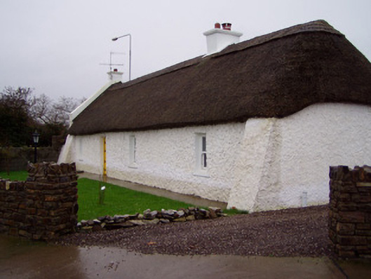 The Cottagehouse · 903 yd
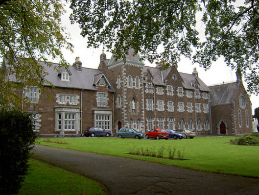 Convent of Mercyconvent/nunnery · 1154 yd
 Lover' LeapCliff · 1250 yd
 Lover's LeapCliff · 1344 yd
 Mallow Town Park - Maple WoodsForest · 1344 yd
 Ice HoIcehouse · 1369 yd
 Mallow Castle HouseCastle · 1503 yd
 Mallow Castle (in Ruins)House, fortified house · 1612 yd
 In loving memory of Elvis O'DonoghueMemorial · 1.5 mi
 Mallow River TrailVisitor information · 1.5 mi
 Blackwater WayWalking route · 2.1 mi