What is recorded here
Three monuments stood in a rough triangle west of the Inishshark church when mapped in 1838, likely leachts or wayside cairns marking a sacred boundary. They vanished completely, leaving no stone or soil trace behind. The sea, time or forgotten hands erased them, but their shape still hangs in the air like a ghost waiting to be remembered.
On the SE side of Inishshark. Three ‘Monuments’ indicated by dots, roughly forming the points of a triangle, are shown on the 1838 edition of the OS 6-inch map immediately to the W of the W gable of the church (GA009D002----). No visible surface traces of any survive. It is unclear exactly what the monuments were but it is possible that they were leachts or wayside cairns associated with the church.
Compiled by: Olive Alcock
Date of upload: 29 March 2023
The monument record does not grant public access. Check the route and ask the landowner before entering private land.
- What survives
- Recorded monument
Places near here
 St. Leos Chapel (in Ruins)Church · 8 yd
 St. Leos FlagCross · 57 yd
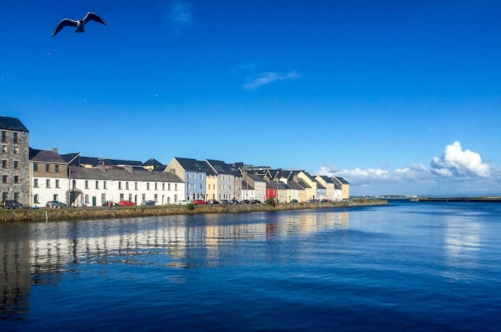 Cross in InishsharkCross · 189 yd
 InishsharkIsland · 1132 yd
 Dun Mor CliffsCliff · 1.0 mi
 West Quarter BeachBeach / strand · 1.6 mi
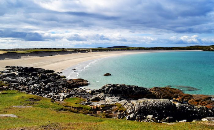 North BeachBeach / strand · 1.8 mi
 CarrickmoreIslet · 1.8 mi
 PollatlooaCave · 1.9 mi
 Inishbofin Signal TowerRuins · 2.0 mi
 Barrack PointHeadland · 2.1 mi
 Vincent Josef O'HalloranMemorial · 2.3 mi