What is recorded here
Shown on OS map (1838) as circular enclosure. Levelled; no visible surface traces.
The above description has been derived from D. Lavelle (compiler), An Archaeological Survey of Ballinrobe and District including Lough Mask and Lough Carra. Lough Mask and Lough Carra Tourist Development Association (1994), No. 393.
Date of upload: 21 February 2013
The monument record does not grant public access. Check the route and ask the landowner before entering private land.
- What survives
- Recorded monument
Places near here
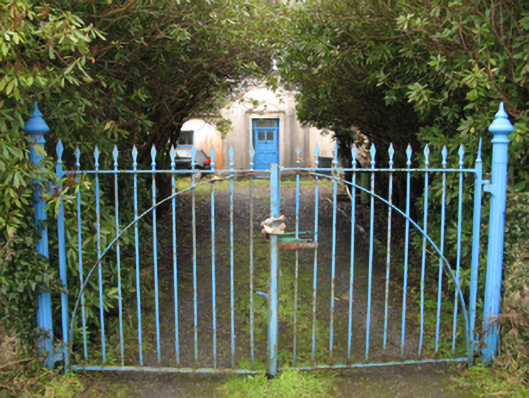 Drimcoggy Lodgefarm house · 239 yd
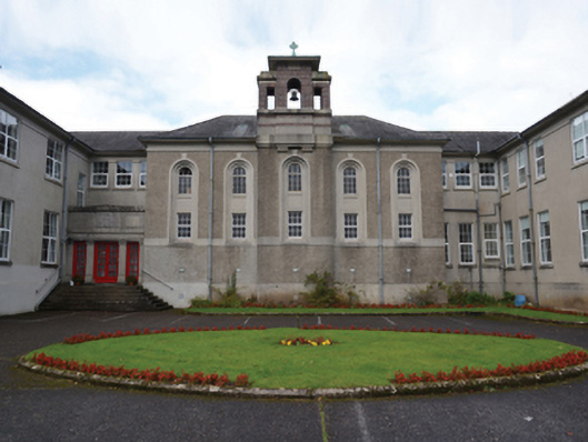 Coláiste Mhuirecollege · 1748 yd
 Doon RockIslet · 1.5 mi
 Sweathouse in Derrymore (kilmaine By.)Sweathouse · 1.6 mi
 TobercolumbkilleHoly well · 2.0 mi
 Coill Thuar Mhic ÉadaighWood · 2.4 mi
 Carrigeenamore RocksIslet · 2.9 mi
 Devenish RocksNamed rock · 3.8 mi
 CarrigeenbaunNamed rock · 4.0 mi
 Castle in ruinsCastle, unclassified · 4.3 mi
 Doon WoodWood · 4.3 mi
 Castle CarraCastle · 4.6 mi