What is recorded here
Visited by Sligo Crannog project 2000. This site is located in the NE end of the lake c.10m from the shoreline. It is overgrown. Comprises an oval cairn (L 25.7m E-W, 19.2m N-S, H 2.8m). The mid cairn is located slightly to the E (L 7m E-W, 5.8m N-S) and consists of a dense concentration of loosely packed sandstones. It is surrounded by a an uneven platform of stones (Wth 11.90m W, 11.20m N). On the N side of the site is a linear drystone-walled feature (L 5m, Wth 1.10m, H 0.85m) which may be the remains of a jetty.
Compiled by: Geraldine Stout
Date of upload: 14 August 2013
The monument record does not grant public access. Check the route and ask the landowner before entering private land.
- What survives
- Recorded monument
Places near here
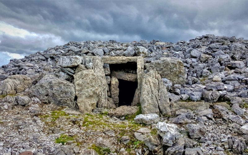 IndicatedFairy fort / stone ringfort · 899 yd
 Carrowmore 26Archaeological place · 1107 yd
 Carrowmore Megalithic CemeteryHeritage attraction · 1649 yd
 Carrowmore Visitors CentreVisitor information · 1699 yd
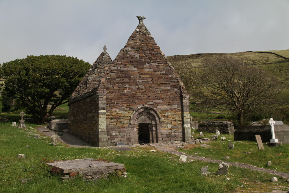 Kilmacowen Church (in Ruins)Church · 1749 yd
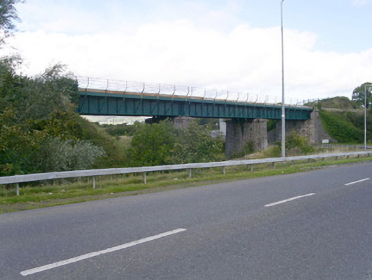 bridgebridge · 1.4 mi
 CastleCastle, unclassified · 2.0 mi
 St. John's CathedralMemorial · 2.2 mi
 Tobernalt Holy WellSpring · 2.2 mi
 Sligo AbbeyMuseum · 2.3 mi
 Green IslandIslet · 2.5 mi
 Aghamore BayBay · 2.5 mi