What is recorded here
On a gentle NE-facing slope in undulating pastureland overlooking Lough Rea to the N. Marked on the 1920 edition of the OS 6-inch map as a partially levelled enclosure (diam c. 30m) and indicated by a line of hachures curving from SE through W to NW. On inspection in April 1992, apart from a very faint scarp along the SW sector, no visible surface trace survived due to field clearance and land reclamation. However, its outline is visible on the OSi Orhto aerial photograph.
Compiled by: Galway Archaeological Survey, UCG
Date of upload: 10 April 2019
The monument record does not grant public access. Check the route and ask the landowner before entering private land.
- What survives
- Recorded monument
Places near here
 Enclosure in Killeenadeema EastEnclosure · 764 yd
 ToberemonHoly well · 1145 yd
 St. Dimas Church (in ruins)Church · 1399 yd
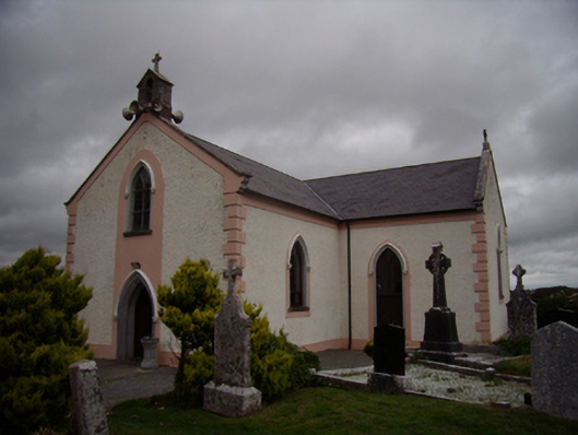 Saint Dympna's Catholic Churchchurch/chapel · 1412 yd
 Stone Islands SouthIslet · 1.4 mi
 Island McCooIslet · 1.5 mi
 Long PointHeadland · 1.7 mi
 Site of CastleCastle, unclassified · 2.7 mi
 Ballynamantragh CastleCastle, unclassified · 2.8 mi
 Scalpeen RockNamed rock · 3.8 mi
 Dartfield Horse MuseumHeritage attraction · 5.3 mi
 KnockapollboyMountain / peak · 5.5 mi