What is recorded here
The Down Survey barony map shows a crossing here and marked on the 1906 edition of the OS 6-inch map. No visible surface remains of early bridge. Modern bridge located here now.
The above description is derived from the published 'Archaeological Inventory of County Laois' (Dublin Stationery Office, 1995) compiled by P. David Sweetman, Olive Alcock and Bernie Moran. In certain instances the entries have been revised and updated in the light of recent research.
Date of upload: 17 December 2007
The monument record does not grant public access. Check the route and ask the landowner before entering private land.
- What survives
- Recorded monument
Places near here
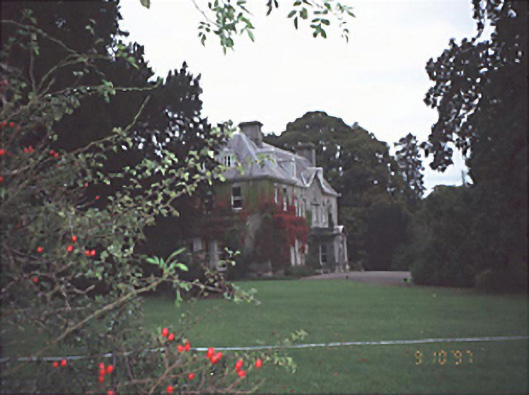 Moyne Househouse · 919 yd
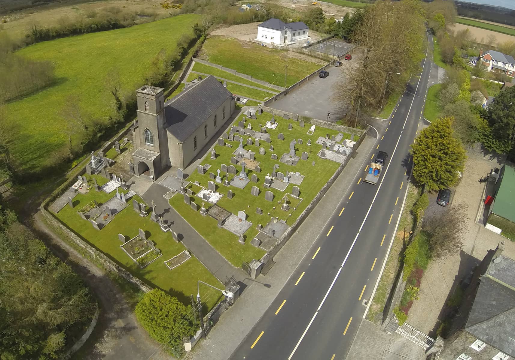 Church in DunmoreChurch · 1171 yd
 CastleCastle, unclassified · 1385 yd
 Monastery (in Ruins)Ecclesiastical site · 1.0 mi
 Cross in Castledurrow DemesneCross · 1.1 mi
 Durrow CastleCastle · 1.2 mi
 Birchfield PlantationForest · 2.0 mi
 Pedunculate OakPedunculate Oak · 2.1 mi
 1798 MonumentMemorial · 3.9 mi
 Anker's IslandIsland · 3.9 mi
 Knocknamoe HouseMemorial · 4.1 mi
 Abbeyleix Heritage CentreMuseum · 4.4 mi