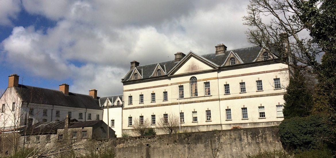
What is recorded here
Kellybrook hides a ruined castle in a broad Roscommon valley, marked on the Strafford map of c. 1636 and owned by Christopher Jones of Caldragh in 1641 before passing to William Handcock by 1662. Grass still smothers its rubble cairn, though one broken wall and a protruding stone admit that people once built, defended and forgot the place. It remains an unclassified castle because the earth has taken back most of its shape.
In a broad NW-SE flat-bottomed valley. A small castle at the NE edge of Tibberdan, which would include Kellybrook, is marked on the Strafford map of c. 1636, and Christopher Jones of Caldragh owned 307 acres there in 1641 but this had passed to William Handcock by 1662 (Simington 1949, 115, Athlone (262)). This is a grass-covered cairn of rubble (dims 19.6m NNE-SSW; 17m WNW-ESE; max. H 2.6m) with one wall visible (L 3m T 0.75m) and a large piece of masonry is protruding from the mound (H 2.25m). It is within an oval grass-covered enclosure (RO042-102002-) (dims 90m NE-SW; 60m NW-SE) defined by a fosse (Wth of top 3.5-4m; int. D 0.2-0.35m; ext. D 0.1m) SW-N and by a low bank (at SE: Wth 3m; int. H 0.1m; ext. H 0.2m) or scarp (H 0.2m) elsewhere. It has no identifiable original entrance.
Compiled by: Michael Moore
Date of upload: 24 August 2010
Christopher Jones of Caldragh owned land at Kellybrook in the mid-17th century, and a small castle is recorded in the area on the Strafford map of around 1636. The site is significant as an example of early modern landholding and minor fortifications in the region.
The monument record does not grant public access. Check the route and ask the landowner before entering private land.
- What survives
- Recorded monument
Places near here
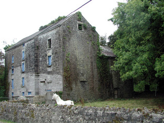 Lecarrow Millmill (water) · 1431 yd
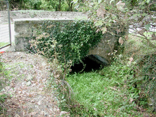 bridgebridge · 1448 yd
 St. Johns WellHoly well · 1717 yd
 Embanked enclosureFairy fort / earthen ringfort · 1756 yd
 CastleCastle, tower house · 1.4 mi
 Blackbrink BayBay · 1.9 mi
 Galey CastleCastle, tower house · 1.9 mi
 Galey BayBay · 2.0 mi
 Hangman's HillMountain / peak · 2.1 mi
 St. John's WoodWood · 2.7 mi
 InchmoreIslet · 2.7 mi
 Dogs IslandIslet · 2.8 mi
Other information
Photo: Credit not shown in the picture search · Rights wording not checked; contact us if this picture should be removed