
What is recorded here
In undulating pasture, on top of a rise with views SW to Macgillycuddy's Reeks. This possible rath is not visible at ground level and, according to local information, it was levelled in the 1960s. Also according to local information, it comprised a circular level area defined by a single earthen bank. It is indicated as a circular enclosure (diam. c. 20m) on the 1893-4 OS 6-inch map.
Compiled by: Elizabeth Byrne, Ursula Egan and Sheila Ronan, Archaeological Survey Unit, University College, Cork.
Date of upload: 31 January 2011
The monument record does not grant public access. Check the route and ask the landowner before entering private land.
- What survives
- Recorded monument
Places near here
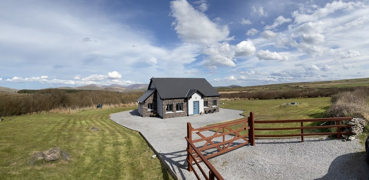 Hut site in DromickbaneHut site · 838 yd
 Enclosure in Gortagullane (magunihy By.)Enclosure · 1186 yd
 Sheheree Bog Nature ReserveNature reserve · 1466 yd
 Blue Pool Nature ReserveWood · 1538 yd
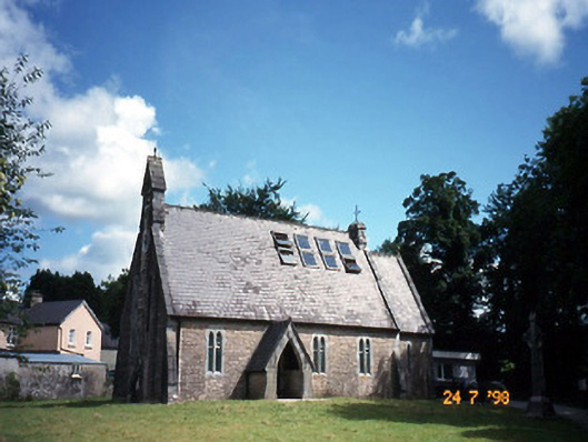 church/chapelchurch/chapel · 1617 yd
 The Blue PoolGallery · 1625 yd
 Religious houseReligious house, Franciscan friars · 1677 yd
 Muckross AbbeyHeritage attraction · 1.2 mi
 Flesk CastleCastle · 1.4 mi
 McCarthy Mor CastleCastle · 1.4 mi
 Osprey RockIsland · 1.6 mi
 Castlelough BayBay · 1.7 mi
Other information
Photo: Credit not shown in the picture search · Rights wording not checked; contact us if this picture should be removed