What is recorded here
Listed as ‘Earthwork’ in the SMR (1992) and the RMP (1996). Visible as a small semi-circle of hachures on the 1923 OS 6-inch map but indicated as a ‘Gravel pit, disused’ on the OS 25-inch map (1893). This quarry (16m N-S; 21m E-W; D 4-6m) is hollowed from rock and has an adjacent shallower hollow (16 N-S; 26m E-W) at its NE edge. The quarried stone is referred to locally as ‘coldstone’.
Compiled by: Mary Tunney
Date of upload: 1 April 2015
The monument record does not grant public access. Check the route and ask the landowner before entering private land.
- What survives
- Recorded monument
Places near here
 Enclosure in MoyneEnclosure · 1291 yd
 Vandeleur Walled GardenHeritage attraction · 1603 yd
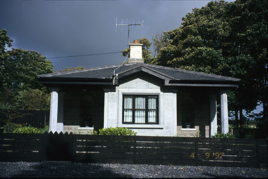 Kilrush Housegate lodge · 1703 yd
 Enclosure in RapeparkEnclosure · 1.1 mi
 Church (in Ruins)Church · 1.1 mi
 Ballymacrinan BayBay · 1.3 mi
 The Museum of Irish Rural LifeMuseum · 1.6 mi
 IndicatedCastle, unclassified · 1.7 mi
 St. Senan's WellSpring · 1.8 mi
 St Senan's WellSpring · 2.0 mi
 Mall PointHeadland · 2.6 mi
 Castle (in Ruins)Castle, unclassified · 2.7 mi