
What is recorded here
Located on the N-facing slope of a SE-NW spur at the N foothills of the E-W Slieve na Calliagh ridge. There are references to a church here in the Papal Taxation of 1303 when it was a possession of the Benedictine abbey of Fore, and at the Suppression in 1540 Fore held 100 acres as well as the tithes and dues of Drumsawre worth almost 105 shillings (White 1943, 272). In Dropping's Visitation Book (1682-5) Drumfannery chapel is described as ruined (Ellison 1975, 10). Tradition maintains it was the rectangular building (ext. dims 12.7m E-W; 7.15m N-S) with walls almost complete (H c. 2-4m) located c. 10m S of the castle (ME009-042001-). This has a plain doorway (Wth 1.03m) towards the W end of the N wall (T 0.9m), and there are corbels internally in the W wall and beam-holes in the E wall. At a first floor level there is evidence of a blocked embrasure in the E wall and another in the S wall. If it was a church it was re-used as a dwelling. There is a local tradition that it was re-dedicated by the Plunkett’s of Loughcrew in the early 17th century and, while there is no formal burial ground associated with it, that 18th century headstones were removed from the site and built into field walls in Ballinvally and Boolies townlands (O'Connell 1965, 174-5). Two headstones dated 1740 and 1753 are built into nearby walls.
The above description is derived from the published 'Archaeological Inventory of County Meath' (Dublin: Stationery Office, 1987). In certain instances the entries have been revised and updated in the light of recent research.
Compiled by: Michael Moore
Date of upload/revision: 30 July 2014
Built by the Benedictine Abbey, likely in the 13th or early 14th century; dedicated as a small church, its significance lies in its mention in the Papal Taxation of 1303, indicating its status as an ecclesiastical possession.
The monument record does not grant public access. Check the route and ask the landowner before entering private land.
- What survives
- Recorded monument
Places near here
 CastleCastle, unclassified · 23 yd
 Enclosure in Ballinvally,drumsawry OR SummerbankEnclosure · 848 yd
 Enclosure in BallinvallyEnclosure · 882 yd
 C11Named rock · 1255 yd
 Carnbane WestMountain / peak · 1283 yd
 LoughcrewMegalithic tomb cemetery · 1495 yd
 Loughcrew Megalithic TombsHeritage attraction · 1.2 mi
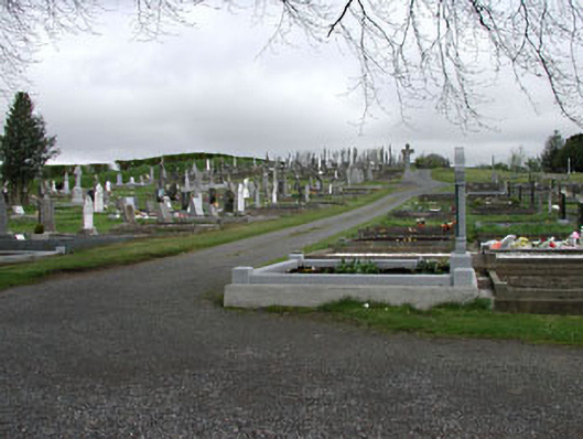 graveyard/cemeterygraveyard/cemetery · 1.2 mi
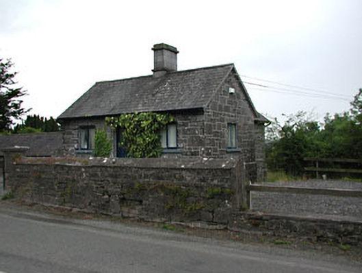 gate lodgegate lodge · 1.2 mi
 Slieve Na CalliaghMountain / peak · 1.2 mi
 Common LimeCommon Lime · 1.4 mi
 European YewEuropean Yew · 1.4 mi
Other information
Photo: Credit not shown in the picture search · Rights wording not checked; contact us if this picture should be removed