
What is recorded here
Overgrown pair of lime kilns of late-19th/early 20th-century appearance, built against natural slope in quarry, on E side of Mallow. Large quarry indicated at site on 1842 OS 6-inch map with subrectangular structure at S end named 'Salt Works'. Random rubble limestone walls encase core of kilns. Front elevation (SE) staggered, with NE kiln set back c. 4m from SW kiln. SW kiln (H c. 7m; Wth c. 6.6m) has brick-arched recess (Wth c. 2.5m; D c. 1.2m), base filled with rubble; rear wall of brick with stoking hole (0.2m x 0.12m), lower portion of sloping-iron sheets, ope at base. Remains of wooden roof over forecourt, originally supported by wall on NE side of recess and by ledge along wall at SW side of recess. Outline of infilled funnel (diam c. 2m) visible on top of kiln.
NE kiln (H 8m; Wth c. 5.7m) has brick-arched recess (H 2.35m; Wth 2.55m; D 1.9m) supported by iron bands, limestone arch over brick arch; rear wall of brick with stoking hole (0.3m x 0.16m), lower portion of sloping stone slab and wide sheets of iron, ope (H 0.4m; Wth 1.16m) at base. Walls extend forward from front elevation which probably supported roof cover over recess. Infilled funnel (diam 2m.) to rear, exposed upper portion lined with iron encrusted with earth, which Sleeman (1990, 97) suggests is possibly remains of iron salt pan. Top of kilns (5.2m NW-SE; c. 14.5m NE-SW) enclosed by wall on NE side with remains of structure at NW end. Roofless ruined 2-story structure to SW, possibly associated with the salt works. Forecourt area built over, top of kiln used as car park and structure to SW partially demolished subsequent to site inspection.
The above description is derived from the published 'Archaeological Inventory of County Cork. Volume 4: North Cork' (Dublin: Stationery Office, 2000). In certain instances the entries have been revised and updated in the light of recent research.
Date of upload/revision: 14 January 2009
The monument record does not grant public access. Check the route and ask the landowner before entering private land.
- What survives
- Recorded monument
Places near here
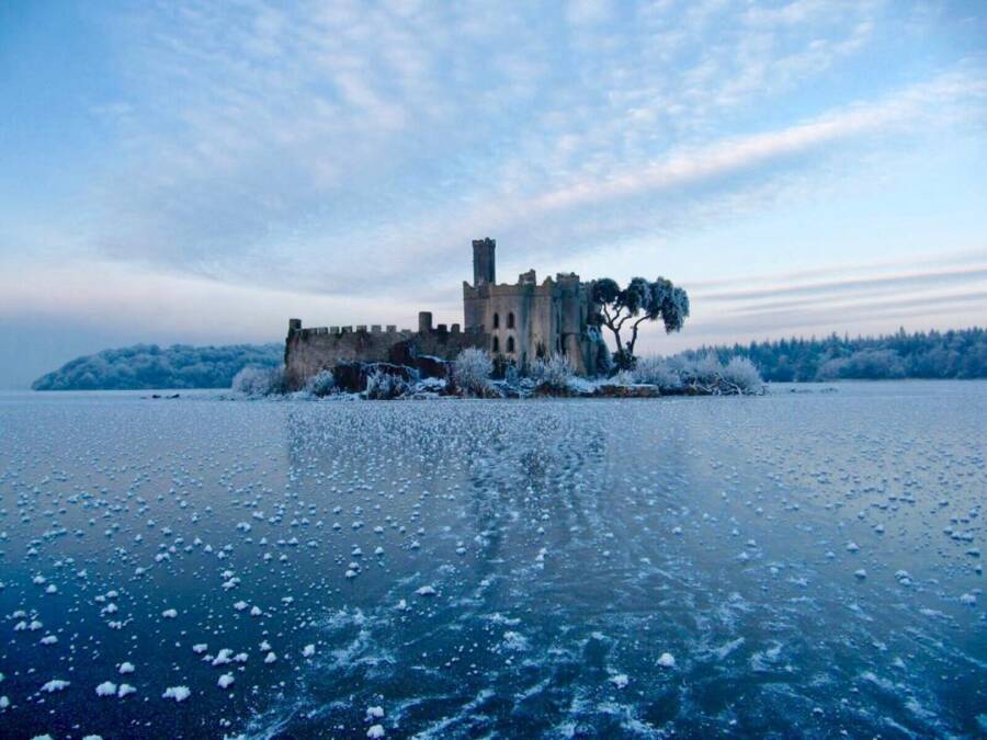 Ice HoIcehouse · 173 yd
 Spa Househotel · 200 yd
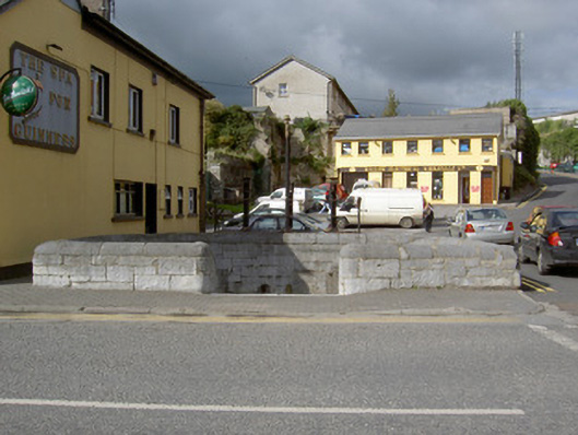 The Spawater pump · 284 yd
 Mallow Castle HouseCastle · 298 yd
 Mallow Castle (in Ruins)House, fortified house · 407 yd
 Grave YardGraveyard · 492 yd
 Mallow Town Park - Maple WoodsForest · 613 yd
 Lover' LeapCliff · 1033 yd
 Lover's LeapCliff · 1182 yd
 In loving memory of Elvis O'DonoghueMemorial · 1588 yd
 Mallow River TrailVisitor information · 1615 yd
 Blackwater WayWalking route · 1.4 mi
Other information
Photo: Credit not shown in the picture search · Rights wording not checked; contact us if this picture should be removed