What is recorded here
In pastureland. A small hachured feature marked on the 1932 edition of the OS 6-inch map proved on inspection in 1983 to be a roughly circular overgrown hollow, probably a disused sand or gravel pit.
Compiled by: Olive Alcock
Date of upload: 30 March 2015
The monument record does not grant public access. Check the route and ask the landowner before entering private land.
- What survives
- Recorded monument
Places near here
 Quarry in CaltraQuarry · 220 yd
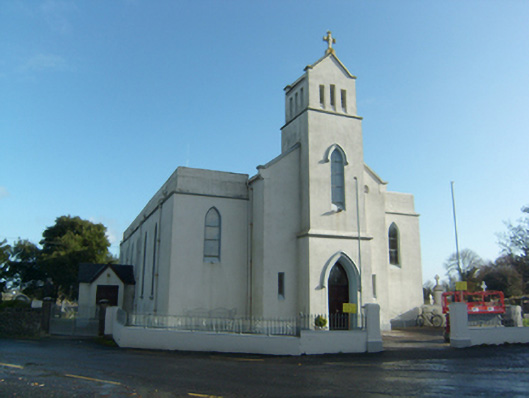 Saint Solan's Catholic Churchchurch/chapel · 404 yd
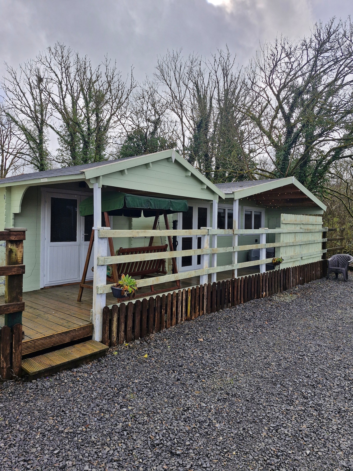 Enclosure in Greenville,lisnagreeEnclosure · 874 yd
 Enclosure in LisnagreeEnclosure · 958 yd
 Castle (Site of)Castle, unclassified · 1.5 mi
 Castle (in ruins)Castle, unclassified · 2.0 mi
 Sweet ChestnutSweet Chestnut · 3.3 mi
 Mountbellew ForestForest · 3.3 mi
 Ballinlass Eviction MemorialMemorial · 4.2 mi
 Kilconnell AbbeyHeritage attraction · 7.4 mi
 Mount MaryMountain / peak · 9.3 mi
 Sally IslandIslet · 10 mi