
What is recorded here
On S facing slope of natural rise in undulating countryside. Subrectangular area (dims. 34m E-W) enclosed by a low earth and stone bank (Wth 1m; ext. H 1m), fosse (Wth 2m) with external bank visible from NE through E to S only. Causewayed entrance (Wth 5m) at E. Natural bedrock protrudes from surface of level interior. Large boulders along perimeter of site may be result of field clearance. Examination of site difficult due to dense overgrowth.
The above description is derived from the published 'Archaeological Inventory of County Offaly' (Dublin: Stationery Office, 1997). In certain instances the entries have been revised and updated in the light of recent research.
Date of upload: 23 May 2011
The monument record does not grant public access. Check the route and ask the landowner before entering private land.
- What survives
- Recorded monument
Places near here
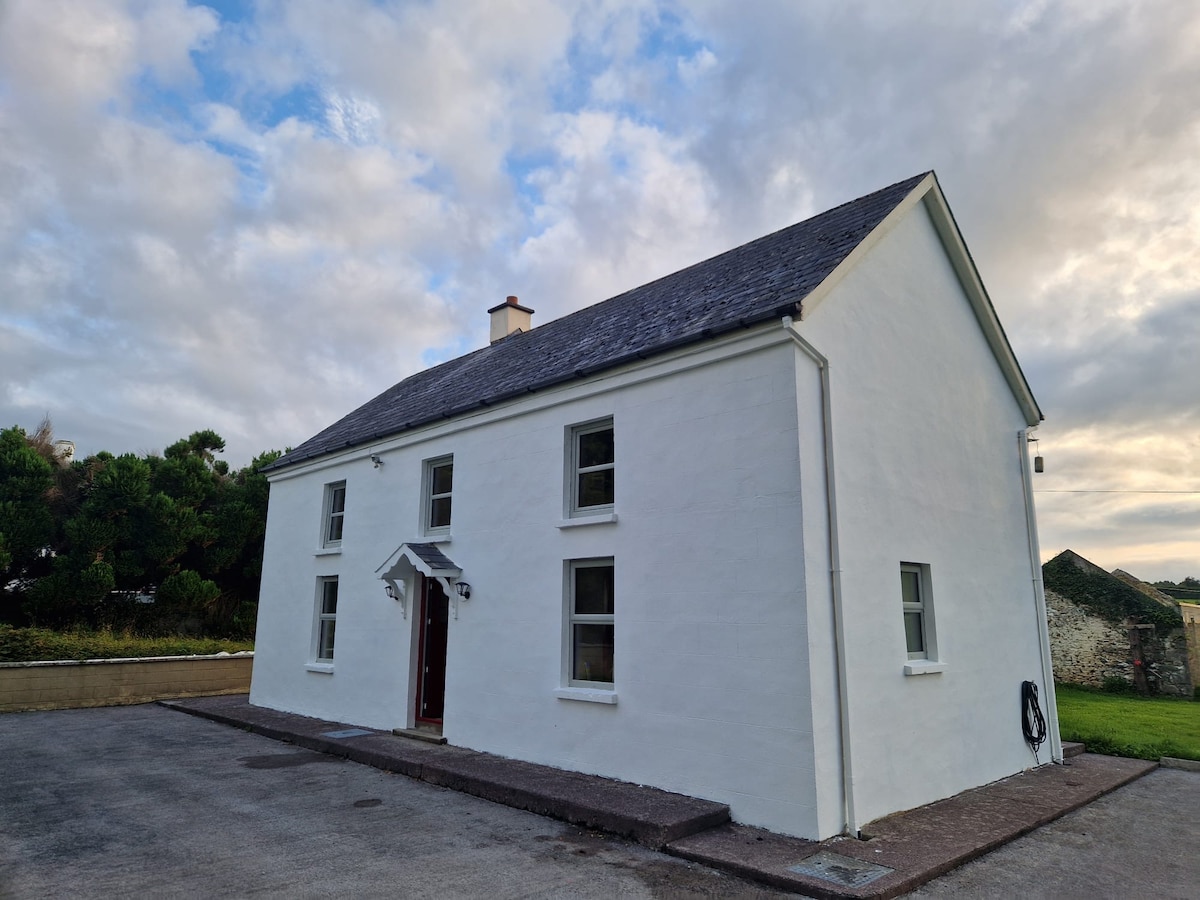 Enclosure in Bellair OR BallyardEnclosure · 547 yd
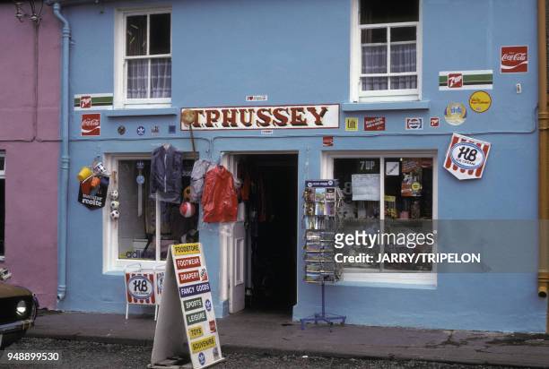 Devries ShopRuins · 854 yd
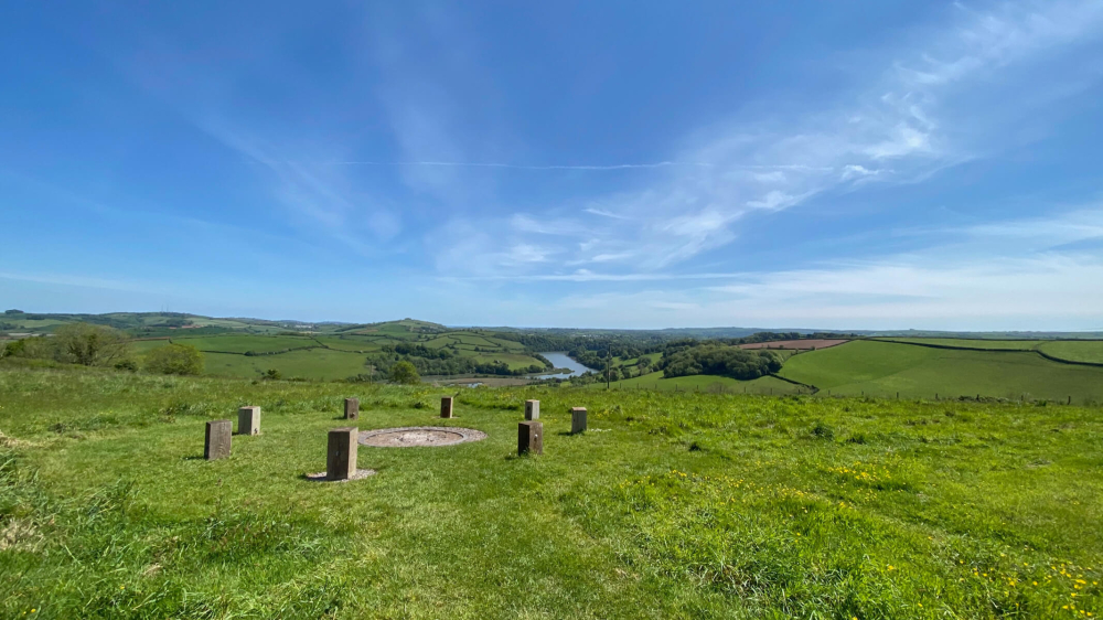 Killaghintober Burial GdBurial ground · 1054 yd
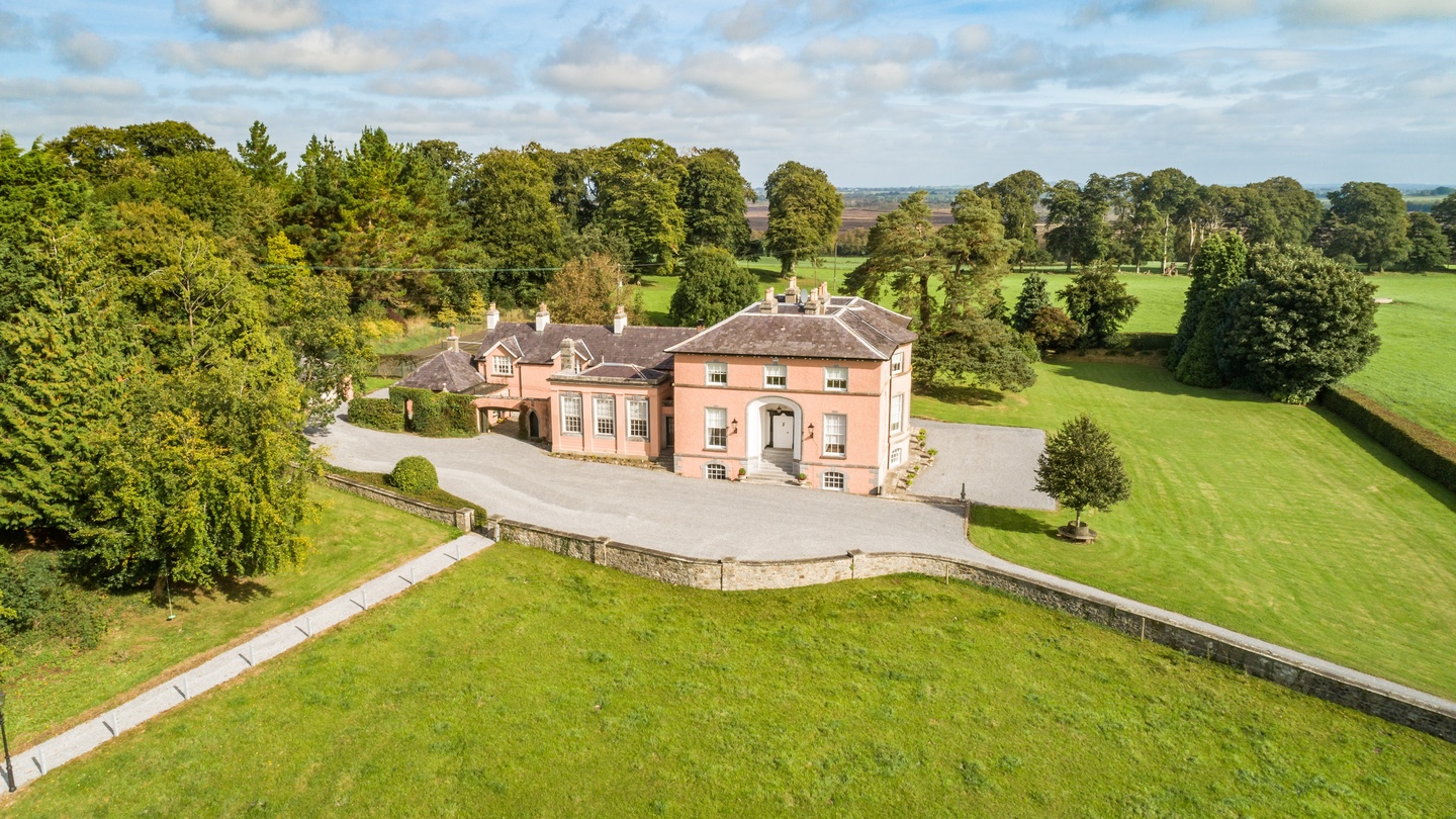 Bellair Housecountry house · 1208 yd
 Castle ArmstrongHouse, fortified house · 1.3 mi
 Kilnagarnagh Old Ho.Castle, unclassified · 2.2 mi
 Moate HillMountain / peak · 4.3 mi
 European ashEuropean ash · 4.3 mi
 The Bob Traynor GalleryGallery · 4.3 mi
 Charles BianconiMemorial · 4.4 mi
 Dún na SíMuseum · 4.6 mi
 Endrim HillMountain / peak · 4.9 mi
Other information
Photo: Credit not shown in the picture search · Rights wording not checked; contact us if this picture should be removed