
What is recorded here
Indicated is a broken fairy fort on a western slope above Tragumna Bay, where furze still scratches the air and the grass hides a rock-cut trench. Its oval edge rises like a forgotten breath, with a possible entrance facing east and an underground passage whispered beneath the soil. People may have stood there watching ships, hiding children, or simply listening to the bay answer back. The land keeps its shape because remembering it is not the same as believing every story told about it.
In pasture, on a W-facing slope, broken by outcropping rock and scrubland with furze bushes. There are commanding views to the W, overlooking Tragumna Bay. An oval area (35m E-W; 29.6m N-S) defined by a steep-sided scarp S-E, with a slight internal lip evident in parts and by the low remains of a grass-covered earthen bank ESE-SSE. A rock-cut flat-bottomed fosse (Wth 1.1m; D 1.2-2.4m) is evident SW-WNW and at NE. There is a possible entrance in the E sector (Wth 5.2m) where there is a break in the bank and the fosse appears to terminate. The grass-covered interior is slightly dished, sloping gently up towards the edge giving the impression of a low inner bank. According to local information, there is a Man-made underground passage (CO150-078002-) associated with this rath.
The above description is derived from 'The Archaeological Inventory of County Cork. Volume 5' (Dublin: Stationery Office, 2009).
Date of upload: 22 December 2009
The monument record does not grant public access. Check the route and ask the landowner before entering private land.
- What survives
- Recorded monument
Places near here
 Man-made underground passage in Bawnlahan (carbery West (e.d.) By., Castlehaven Par.)Man-made underground passage · 202 yd
 Burial ground in Barryroe (carbery W. (e.d.) By.)Burial ground · 256 yd
 Stony BeachBeach / strand · 747 yd
 Tráigh na MonaBeach / strand · 794 yd
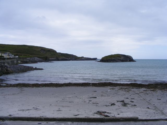 Drishane IslandIslet · 883 yd
 Wild Atlantic Way:Toe HeadVisitor information · 1135 yd
 Wild Atlantic Way:Toe Head BayVisitor information · 1402 yd
 An GoibínHeadland · 1577 yd
 Giant's GraveArchaeological place · 1607 yd
 Fall DownWaterfall · 1.1 mi
 Faill ChúCliff · 1.3 mi
 The SpringSpring · 1.4 mi
Other information
Photo: Credit not shown in the picture search · Rights wording not checked; contact us if this picture should be removed