What is recorded here
Collapsed standing stone situated 50m SE of a bowl-barrow (TS053-016001-) atop a NW-SE ridge, in pasture. There are extensive views in all directions. A long recumbent limestone pillar (L 3.05m; 0.5m x 0.47m), rectangular in plan, lying N-S with a sloping top.
Compiled by: Jean Farrelly
Date of upload: 26 August 2011
Dated to the Neolithic or early Bronze Age, this standing stone likely formed part of a ritual or funerary landscape associated with the nearby bowl barrow. Its collapse and orientation suggest it may have marked a territorial boundary or celestial alignment, though specific folklore or symbolic meaning is not recorded.
The monument record does not grant public access. Check the route and ask the landowner before entering private land.
- What survives
- Recorded monument
Places near here
 IndicatedFairy fort / earthen ringfort · 380 yd
 Enclosure in Ballytarsna (hackett)Enclosure · 746 yd
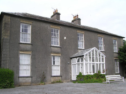 Gaile Househouse · 1.0 mi
 Ballytarsna Church (in Ruins), Grave YardChurch · 1.1 mi
 Synone CastleCastle · 1.2 mi
 Ballytarsna Castle (in ruins)Castle, tower house · 1.2 mi
 Killough Hill (site of)Mountain / peak · 2.0 mi
 Ballyknock HillMountain / peak · 3.4 mi
 Rock of CashelHeritage attraction · 4.6 mi
 Cormac's ChapelHeritage attraction · 4.6 mi
 The Rock Of CashelVisitor information · 4.6 mi
 Black mulberryBlack mulberry · 4.7 mi