What is recorded here
In pasture at the junction of two field fences, located on a low rise. Views are good to N, but somewhat restricted generally by field fences and trees.
Substantially raised circular area or platform (22.5m E−W; 19.8m N−S) defined by a scarp (H 1.4m at S, 1.6m at NNW), which is enhanced by the natural slope. At S−W the scarp has been modified and incorporated into a N−S and a E−W field fence which intersect at the rath, and largely respect its curve; here the scarp is faced with drystone walling, and is topped by a low jumble of loose stones. The scarp on the E arc has an almost vertical face, and shows evidence of erosion.
The interior has a slight slope down from centre to SW. The original entrance is not obvious; it may have been at SE where there is a low section of scarp, now partly blocked by a field fence.
A ring of deciduous and coniferous trees are planted around the perimeter on top of the rath platform.
Compiled by: Jane O'Shaughnessy
Date of upload: 17 June 2020
The monument record does not grant public access. Check the route and ask the landowner before entering private land.
- What survives
- Recorded monument
Places near here
 Musicans of DoocastleMemorial · 964 yd
 Enclosure in MagheranoreEnclosure · 1721 yd
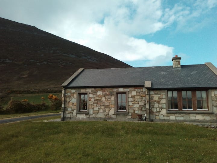 Doomore FortArchaeological place · 1.1 mi
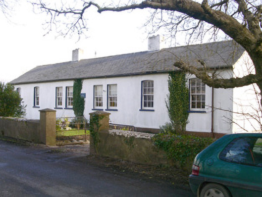 The Old School Houseschool · 1.2 mi
 CastleCastle, unclassified · 1.7 mi
 Castle (in Ruins)Castle, tower house · 2.8 mi
 Old Cave Burial GroundArchaeological place · 2.8 mi
 Tymon's HillMountain / peak · 3.1 mi
 Muckelty HillMountain / peak · 3.8 mi
 Caves of KeshCave · 9.1 mi
 School CaveCave · 10.0 mi
 Crow IslandIslet · 10 mi
Other information
Photo: Credit not shown in the picture search · Rights wording not checked; contact us if this picture should be removed