What is recorded here
Slighty below the crest of hills on the SW side of a valley, in rolling grassland with good views. On the 1st (1839) ed. OS 6-inch map this is indicated as a small sub-rectangular field, which is depicted on the 1900 revision as being more circular (diam. c. 50m), though it appears to be composed of short lengths of straight walling. The enclosure was levelled in the mid-20th century. It is described locally as having been enclosed by a wall 5 feet [1.5m] high and 5 feet [1.5m] thick, with a slight slope from N-S. This enclosure may have been a small field or haggard associated with the farmyard immediately to the NW. It is not visible at ground level and is now occupied by farm buildings.
Compiled by: Jean Farrelly
Date of upload: 5 February 2018
The monument record does not grant public access. Check the route and ask the landowner before entering private land.
- What survives
- Recorded monument
Places near here
 IndicatedBawn · 435 yd
 CastleCastle, unclassified · 471 yd
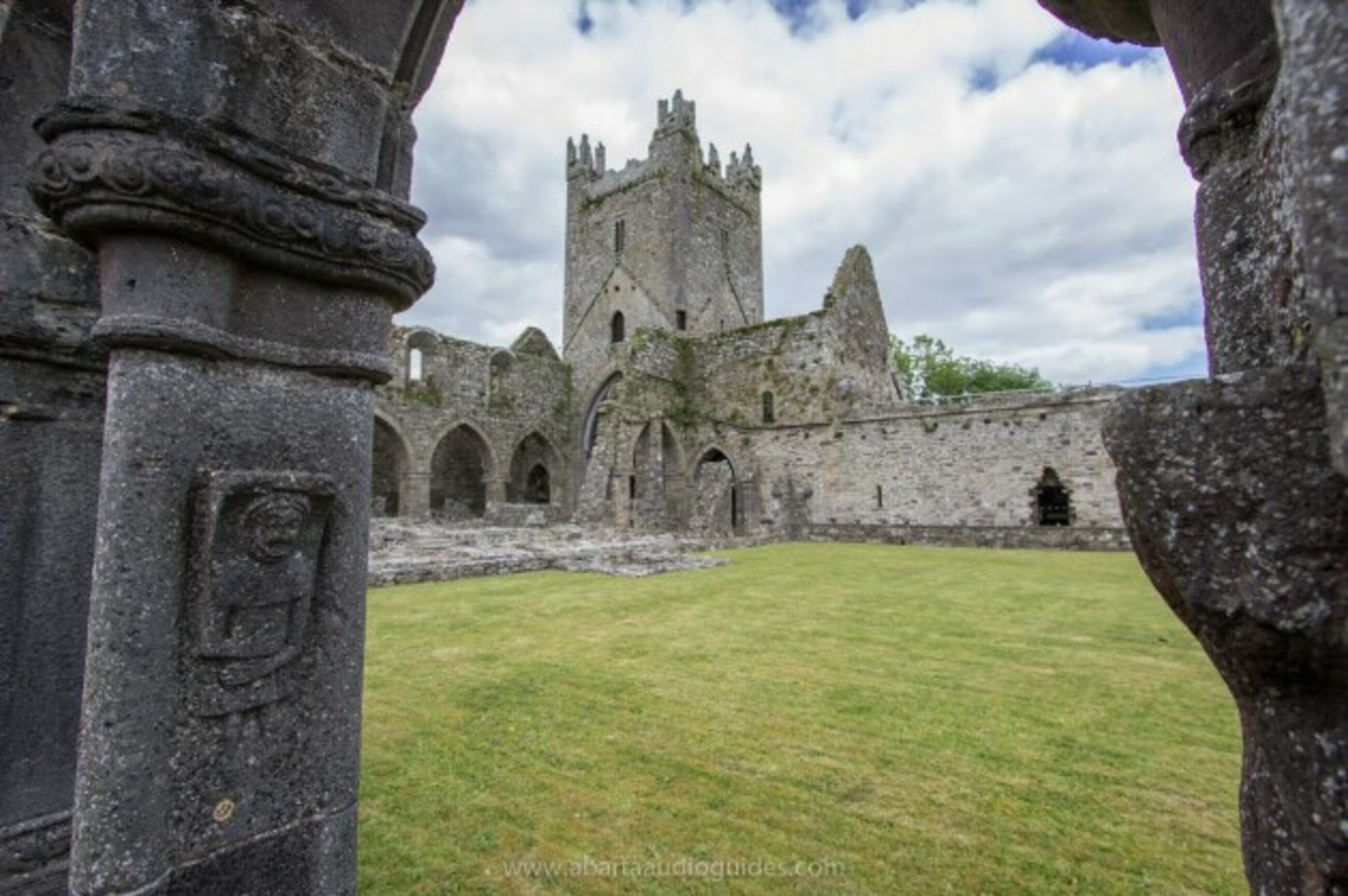 Church in Tifeaghna (browne)Church · 898 yd
 CaisealArchaeological place · 1054 yd
 Garranamanagh Ringfort (rath)Archaeological place · 1271 yd
 Foyle Bridgebridge · 1539 yd
 The PondsForest · 2.1 mi
 Emma Jane Browne-ClaytonMemorial · 2.3 mi
 Red horse-chestnutRed horse-chestnut · 2.3 mi
 Freshford LoopWalking route · 2.3 mi
 Clomantagh HillMountain / peak · 3.1 mi
 John HelyMemorial · 4.9 mi