What is recorded here
Cropmark of ring-ditch (approx. diam. 12m) visible on Google earth aerial imagery. Cropmark of second ring-ditch (KD032-070----) 120m to WNW.
See attached image taken from Google Earth aerial photographs taken 28/06/2018.
Compiled by: Caimin O'Brien based on details kindly provided by Faith Bailey.
Date of upload: 20 November 2018
Ditch barrow, likely dating to the Early Bronze Age. Its significance lies in its association with early funerary and ritual practices in the region, though further investigation is needed to confirm its function and relation to nearby features.
The monument record does not grant public access. Check the route and ask the landowner before entering private land.
- What survives
- Recorded monument
Places near here
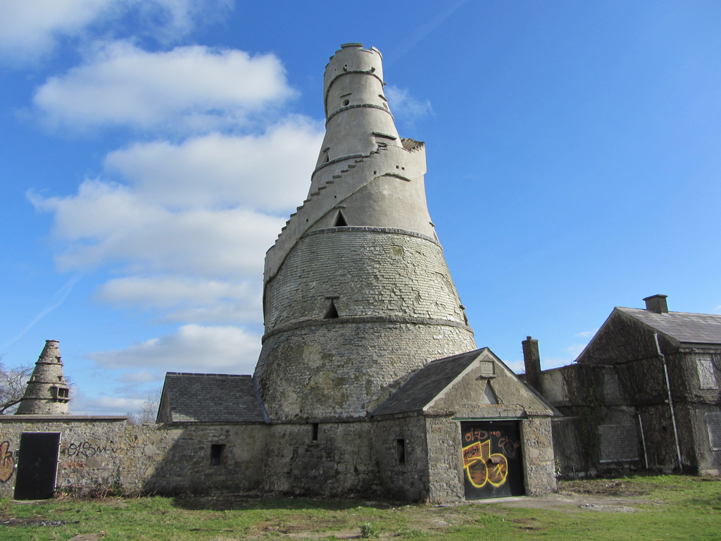 Enclosure in AnnaloughEnclosure · 794 yd
 IndicatedFairy fort / earthen ringfort · 1232 yd
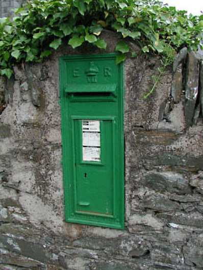 post boxpost box · 1404 yd
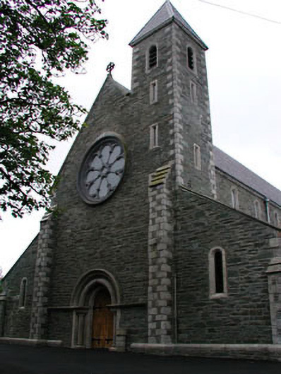 Catholic Church of Saint Mary and Saint Laurencechurch/chapel · 1436 yd
 CrookanurnWood · 1448 yd
 Spratstown Fox CovertWood · 1692 yd
 Colbinstown Castle (in Ruins)Castle, unclassified · 1.9 mi
 Blackhall CastleCastle, tower house · 2.3 mi
 Battle of Kilrushbattle · 3.4 mi
 Burtown House and GardensHeritage attraction · 3.8 mi
 Gorden Bennet Race memorialMemorial · 4.8 mi
 History of Moat of ArdscullVisitor information · 4.8 mi