What is recorded here
West Cork marsh swallowed the circular enclosure marked on the 1842 survey, leaving only a triangular wet area bounded by 1.5m stone walls. The site sits on a NE-facing slope beside ringfort CO151-008---, where water has erased the shape drawn by earlier mappers. Whatever lived inside that circle now drifts under reeds and rain, remembered only through the stones still standing at its edge.
In marsh on NE-facing slope to NE of ringfort (CO151-008---). Hachured circular enclosure on OS 6-inch map (1842). No visible surface trace enclosure. Small triangular wet area (11m N-S; 10.3m E-W) enclosed by stone walls (H 1.5m) now occupies site.
The above description is derived from the published 'Archaeological Inventory of County Cork. Volume 1: West Cork' (Dublin: Stationery Office, 1992). In certain instances the entries have been revised and updated in the light of recent research.
Date of upload/revision: 14 January 2009
The monument record does not grant public access. Check the route and ask the landowner before entering private land.
- What survives
- Recorded monument
Places near here
 Kill Burial GdBurial ground · 466 yd
 gate lodgegate lodge · 638 yd
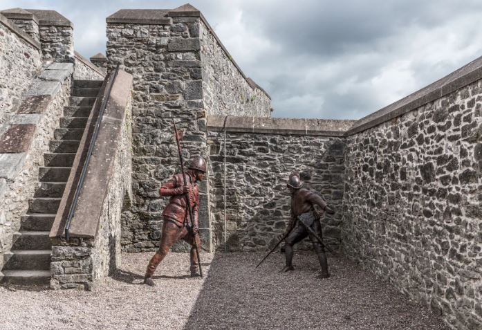 Kill FortFairy fort / earthen ringfort · 666 yd
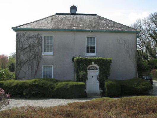 Castlehaven Houserectory/glebe/vicarage/curate's house · 667 yd
 Placenames & Their Amazing StoriesHeritage attraction · 669 yd
 Carraig a' ShleáinMountain / peak · 707 yd
 Gleann BearcháinWood · 769 yd
 Castlehaven StrandBeach / strand · 929 yd
 Castlehaven CastleCastle · 965 yd
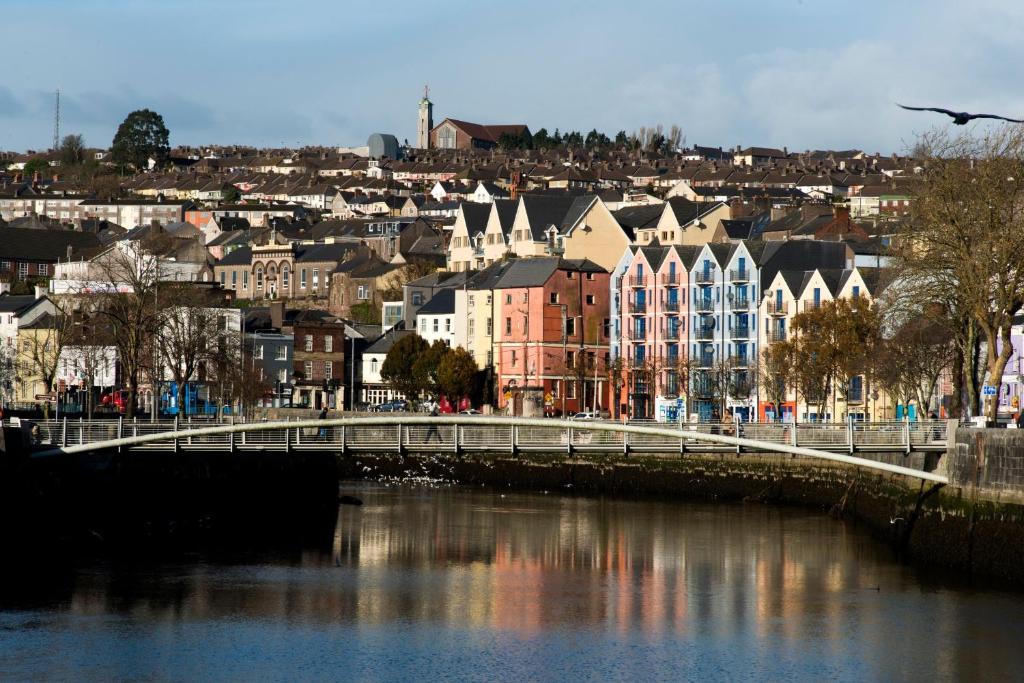 Tráig EilínBeach / strand · 1192 yd
 West Cork Quad AdventuresHeritage attraction · 1372 yd
 Flea IslandIslet · 1508 yd