What is recorded here
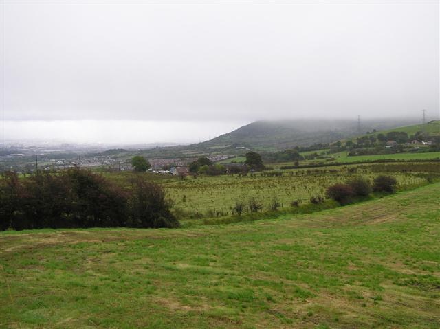
Situated on S-facing slope of the Hill of Ushnagh, in pasture, with good views to S. Monument described in 1963 as a small D-shaped enclosure which possibly represents the remains of a hut site located to the SE of St. Patrick's Bed (WM024-059----) (OPW Field Report 15/08/1963). Levelled monument described in 1983 as no surface remains visible of possible hut site which was located near the SW corner of a large rectangular-shaped earthwork (WM024-062----) .
Compiled by Alison McQueen, Vera Rahilly and Caimin O’Brien.
Date of upload: 13 August 2019
The monument record does not grant public access. Check the route and ask the landowner before entering private land.
- What survives
- Recorded monument
Places near here
 Hill of UisneachMountain / peak · 167 yd
 OutlinedRitual site, pond · 202 yd
 Enclosure in Ushnagh HillEnclosure · 213 yd
 Lunestown Housedemesne walls/gates/railings · 780 yd
 Togherstown Housegates/railings/walls · 1404 yd
 Bawn in KillarecastleBawn · 1574 yd
 European ashEuropean ash · 1676 yd
 Boleyvillish CastleCastle · 1687 yd
 Sam's ParkForest · 2.7 mi
 KnockastiaMountain / peak · 4.5 mi
 Abbeyshrule AbbeyRuins · 7.4 mi
 Guest ServicesVisitor information · 7.7 mi