What is recorded here
At the head of the Ballinskelligs river valley, on gentle SE facing pasture and about 50m SSE of a levelled hut (KE097-018----). The site has been disturbed at NW by ploughing and at NE by the erection of a house. Recorded by Lynch as an ill-defined circle of stones containing much debris (1902b, 340), the site now survives as a pair of opposed uprights set .8m apart and averaging .4m high. A short, curved stretch of stony bank extends from both uprights and may originally have formed a circle.
The above description is derived from A. O'Sullivan and J. Sheehan (compilers), 'The Iveragh peninsula: an archaeological survey of South Kerry'. Cork University Press (1996), no. 1346. In certain instances the entries have been revised and updated in the light of recent research.
Date of upload: 1 August 2013
The monument record does not grant public access. Check the route and ask the landowner before entering private land.
- What survives
- Recorded monument
Places near here
 Wedge tomb in An Com (bar. Uíbh Ráthach)Wedge tomb · 421 yd
 Field boundary in An Com (bar. Uíbh Ráthach)Field boundary · 708 yd
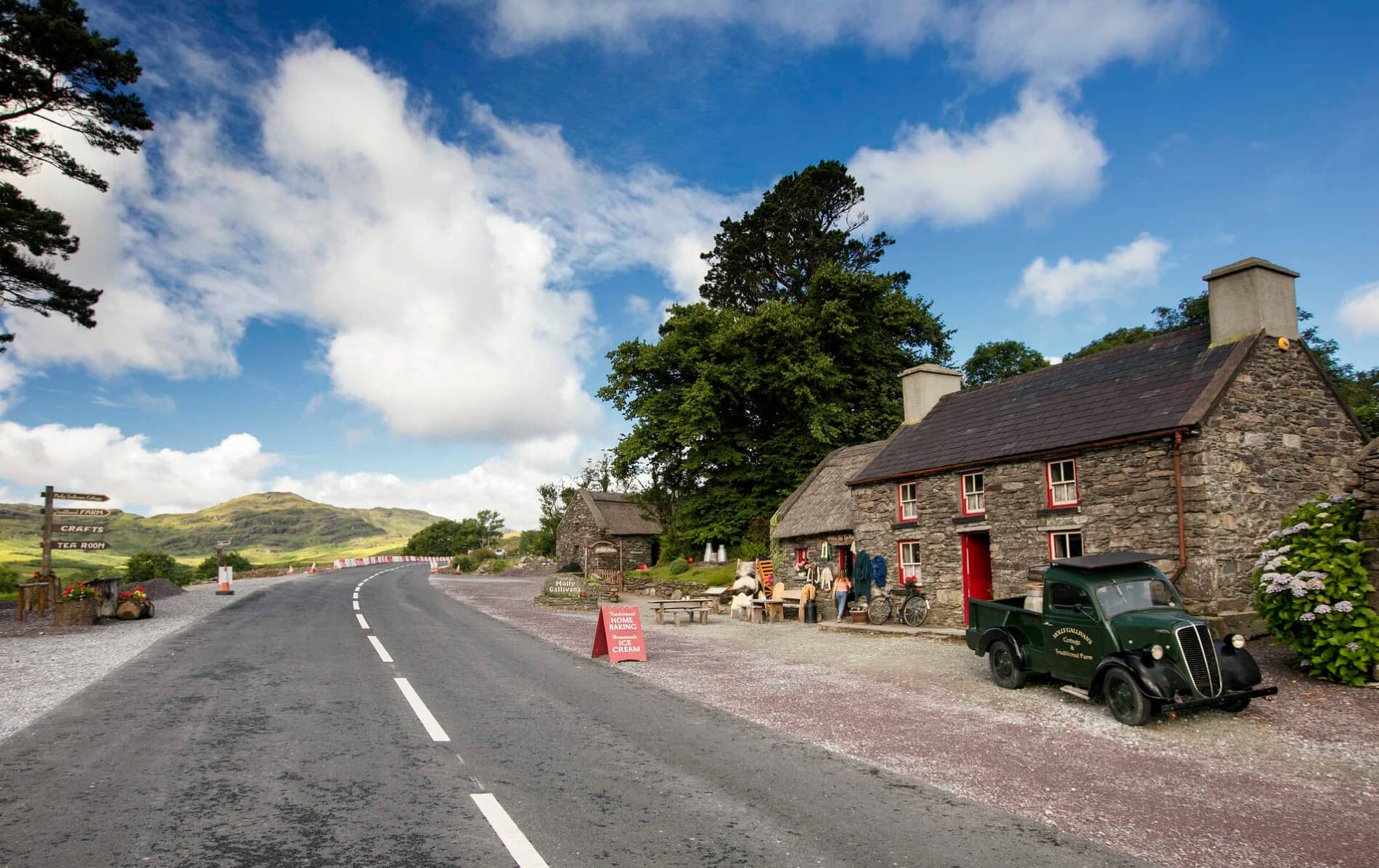 Cuas MaghognaíBay · 968 yd
 Chaytor's StablesRuins · 973 yd
 Faill a' BhléireCliff · 1129 yd
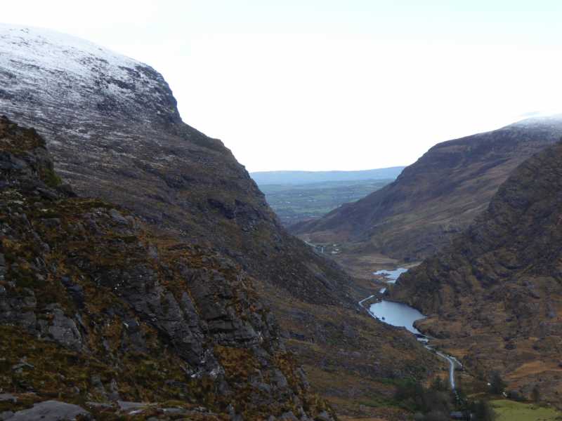 Cnoc Ceannúch (Canuig Mountain)Mountain / peak · 1384 yd
 Bogha SínMountain / peak · 1524 yd
 Liberator "63939" monumentMemorial · 1.0 mi
 Tráigh LeagaighBeach / strand · 1.2 mi
 Cuas Faoi ThalamhCave · 1.2 mi
 Reglaish Church (in Ruins)Church · 1.2 mi
 Cuas na LéimeCave · 1.7 mi