What is recorded here
Na Leadhba Liatha held an eleven-stone circle thirty-six feet across at the head of the Ballinskelligs valley, large enough for a person to walk upright inside and small enough to feel like a cupped hand. The largest stone rose nearly three feet, thick as a door, while a solitary interior marker watched the north. Farmers cleared the stones into a cairn during the 1960s, erasing the hut but preserving its shape in scattered rock. The valley keeps both truths: the disappearance and the memory of a room built without mortar.
At the head of the Ballinskelligs river valley, on gentle SE facing pasture, one field S of a standing stone and boulder-burial (KE097-017001-). A field clearance cairn now occupies the location of this possible hut, removed sometime during the 1960s. Lynch recorded the site as a 'circle of stones', 36 feet (10.97m) in diameter. Eleven stones were set on edge and the largest of these measured 9 feet 9 inches (2.97m) x 2 feet (.61m) x 1 foot (.3m) thick. One stone was located in the interior at N (1902b, 338).
The above description is derived from A. O'Sullivan and J. Sheehan (compilers), 'The Iveragh peninsula: an archaeological survey of South Kerry'. Cork University Press (1996), no. 1447. In certain instances the entries have been revised and updated in the light of recent research.
Date of upload: 1 August 2013
The monument record does not grant public access. Check the route and ask the landowner before entering private land.
- What survives
- Recorded monument
Places near here
 Wedge tomb in An Com (bar. Uíbh Ráthach)Wedge tomb · 469 yd
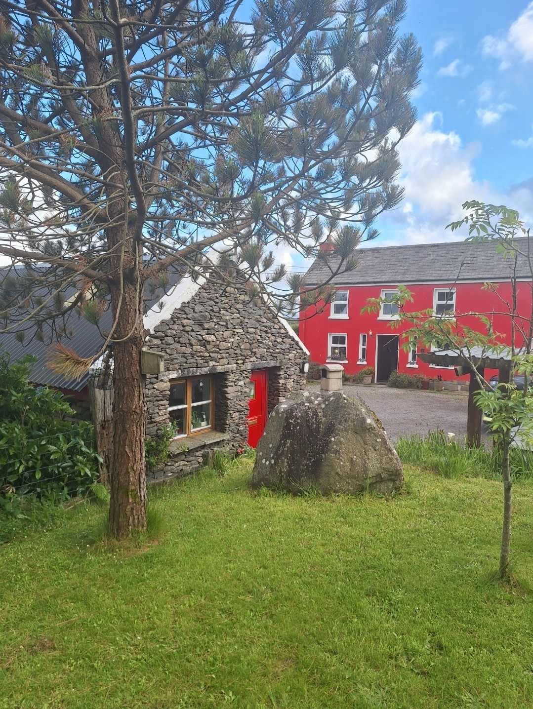 Hut site in An Com (bar. Uíbh Ráthach)Hut site · 720 yd
 Chaytor's StablesRuins · 920 yd
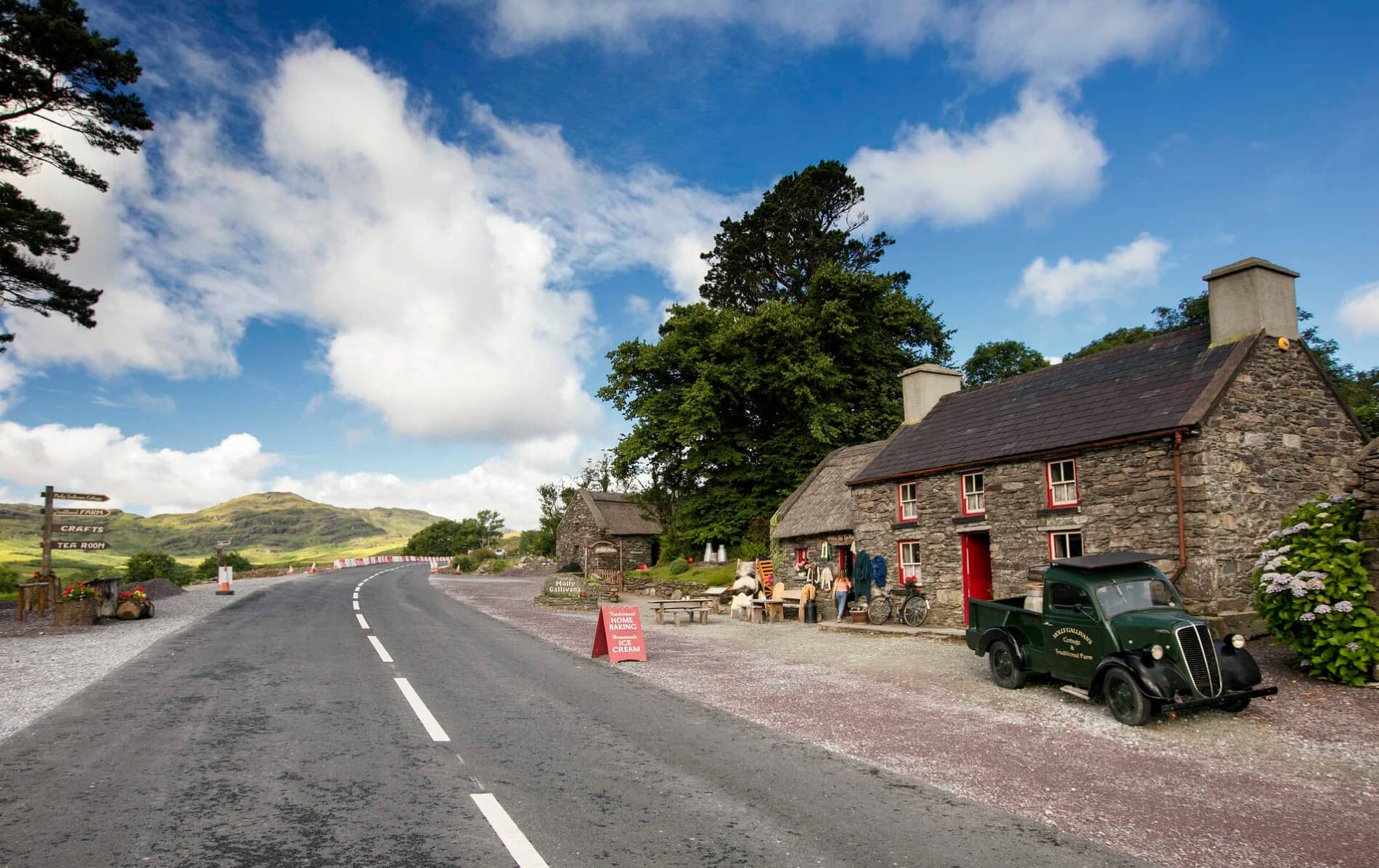 Cuas MaghognaíBay · 929 yd
 Faill a' BhléireCliff · 1100 yd
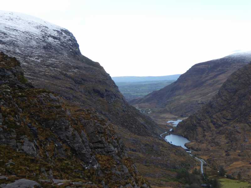 Cnoc Ceannúch (Canuig Mountain)Mountain / peak · 1427 yd
 Bogha SínMountain / peak · 1519 yd
 Liberator "63939" monumentMemorial · 1754 yd
 Tráigh LeagaighBeach / strand · 1.2 mi
 Cuas Faoi ThalamhCave · 1.2 mi
 Reglaish Church (in Ruins)Church · 1.2 mi
 Tráigh na CilleBeach / strand · 1.7 mi