
What is recorded here
Rectangular hut-site aligned NW-SE and a roughly rectangular adjoining enclosure (ext. dims. 4.9m x 5.2m; int. dims. 4m x 4.6m), constructed on a platform partly cut out from a steep facing slope on the W side of Pigeon Rock Glen. Pigeonrock River 100m to E which marks townland boundary with Carrigeen Mountain. Listed as Knocknascrow 3 (Costello 2016, 307). Present remains consist of a rectangular-shaped area (ext. dims. 5.2m x 2.6m; int. dims. 4.6m x 2m) enclosed by a well built coursed earth and stone wall (avg. H 0.7m; avg. T 0.6m) with no entrance visible. A low, grass-covered wall of which only the foundation stones survive, runs W from the SW corner of the hut, enclosing the rest of the slope-cut platform. Ten cultivation ridges run downslope from the site, occupying a patch 25m long and 15m wide (Costello 2020, Fig. 5.11). To the W, at a distance of just under 60m, is a man-made dam or bridge on a fast-flowing tributary stream. To the S, on the other side of that stream, is a grassy slope that appears to have been cleared of stones for the purposes of improving the grazing and making the ground safer for cattle (Costello 2016, 93).
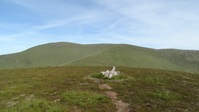
See attached photographs courtesy of Dr. Eugene Costello
Compiled by: Dr Eugene Costello
Date of upload: 25 August 2020
The monument record does not grant public access. Check the route and ask the landowner before entering private land.
- What survives
- Recorded monument
Places near here
 Eagles StepCliff · 625 yd
 Hut site in Carrigeen MountainHut site · 1385 yd
 OutlinedKiln, lime · 1484 yd
 Temple HillMountain / peak · 1612 yd
 IndicatedHut site · 1722 yd
 MonabrackMountain / peak · 1.2 mi
 Combaun WoodsViewpoint · 1.4 mi
 Assaroula WaterfallWaterfall · 1.5 mi
 Massy Lodgecountry house · 2.0 mi
 Coopers WoodWood · 2.2 mi
 Kilbeheny Castle (in ruins)Castle, tower house · 2.6 mi
 Site of CastleCastle, unclassified · 3.2 mi
Other information
Photo: Credit not shown in the picture search · Rights wording not checked; contact us if this picture should be removed