What is recorded here
Loc or Clochán Cábún: In rough mountain terrain on the SE slopes of Mount Eagle. A pair of conjoined drystone huts, the N one abutting the SW side of an old field wall. N hut is circular and has been divided internally by a cross-wall, apparently to convert the structure to use as a turf store (Macalister 1899, 240-1). D: 4.1m. H: 1.5m. T: 1.4m. S hut is oval in plan, with a small wedge-shaped chamber, 1.5 x .75m x .45m high, contained within the thickness of the S wall. D: 3 x 2.3m. Traces of a 3rd structure of uncertain function lie to E of the N hut. Macalister recorded that this clochaun group was enclosed by a barely traceable wall but there is no definite trace of this now. A little further S, on the E side of the old field wall, is a large heap of stone collapse, possibly the remains of another hut.
The above description is derived from J. Cuppage, ‘Corca Dhuibhne. Dingle Peninsula archaeological survey. Ballyferriter. Oidhreacht Chorca Dhuibhne’ (1986), no. 1254. In certain instances the entries have been revised and updated in the light of recent research.
Date of upload: 5 August 2013
The monument record does not grant public access. Check the route and ask the landowner before entering private land.
- What survives
- Recorded monument
Places near here
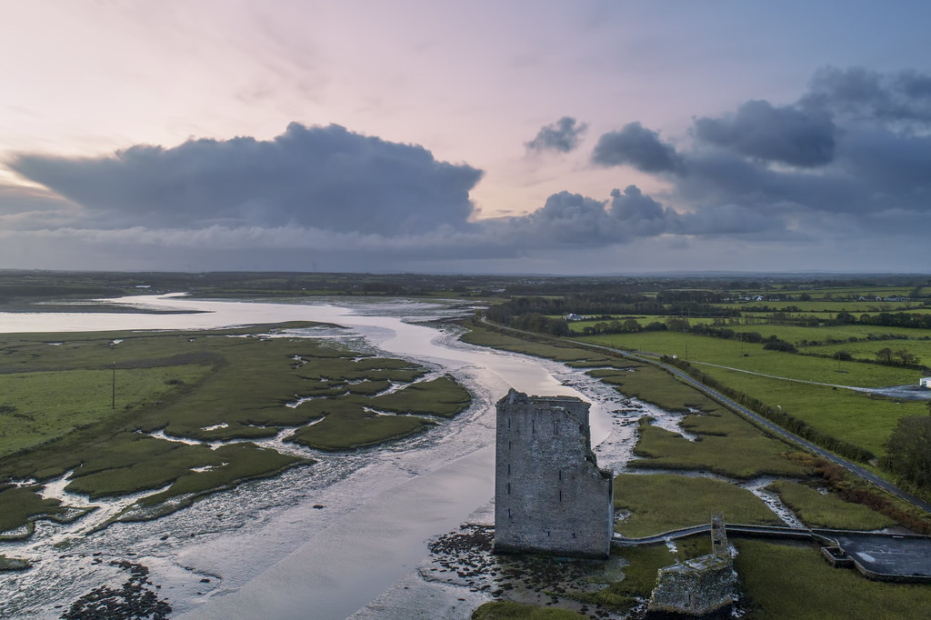 Enclosure in FánEnclosure · 378 yd
 Man-made underground passage in Gleann FánMan-made underground passage · 447 yd
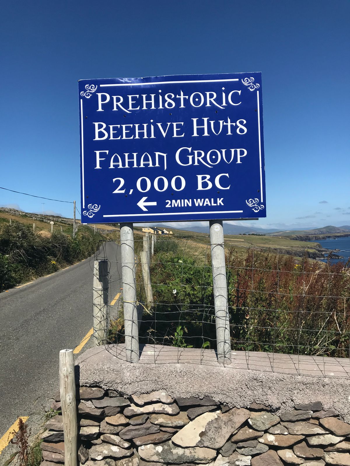 Fahan Beehive HutsHeritage attraction · 722 yd
 Irish Famine CottagesMuseum · 951 yd
 Binn an ChomaMountain / peak · 1294 yd
 Sliabh an IolairMountain / peak · 1461 yd
 Ceann SléibheHeadland · 1.4 mi
 Traigh an ChomaBeach / strand · 1.7 mi
 Faill BearnaiscCliff · 1.7 mi
 Church in Cill Ura ThoirChurch · 1.8 mi
 Church in Baile An GhleannaChurch · 1.8 mi
 Dunmore HeadViewpoint · 2.3 mi