What is recorded here
In open mountain terrain on E side of Glanfahan river. Very ruined remains of a circular drystone-built structure KE052-205---- with a triangular wall-cupboard at W, and a small wall chamber, 1m square x 1m high, at N. D: c. 1.8m according to Macalister (1899, 243). H: 1.25m. T: 1.1m. About 20m to E are the foundations of a roughly circular enclosure KE052-205001-, 7.1 to 8.1m in diameter.
The above description is derived from J. Cuppage, ‘Corca Dhuibhne. Dingle Peninsula archaeological survey. Ballyferriter. Oidhreacht Chorca Dhuibhne’ (1986), no. 1269. In certain instances the entries have been revised and updated in the light of recent research.
Date of upload: 5 August 2013
The monument record does not grant public access. Check the route and ask the landowner before entering private land.
- What survives
- Recorded monument
Places near here
 Man-made underground passage in Gleann FánMan-made underground passage · 259 yd
 Hut site in Gleann FánHut site · 582 yd
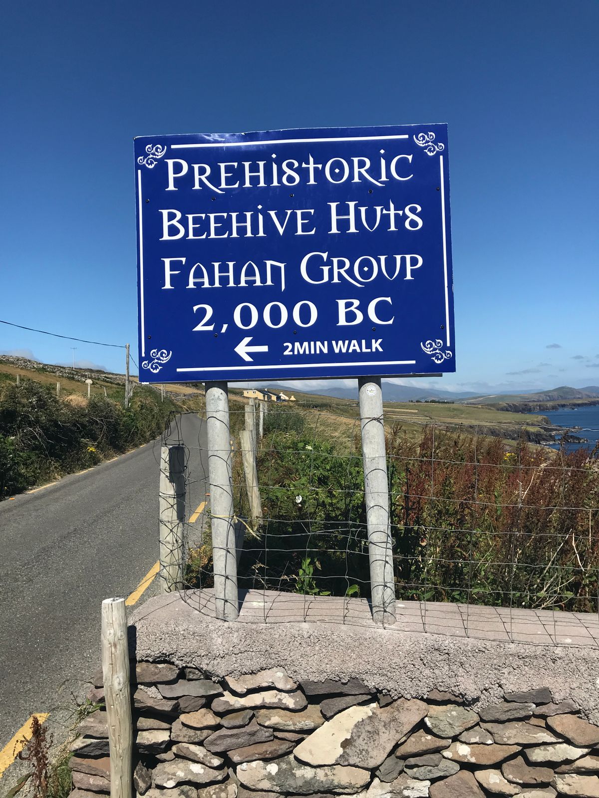 Fahan Beehive HutsHeritage attraction · 864 yd
 Binn an ChomaMountain / peak · 917 yd
 Clochán MórHeritage attraction · 1024 yd
 Sliabh an IolairMountain / peak · 1302 yd
 Ceann SléibheHeadland · 1.3 mi
 Traigh an ChomaBeach / strand · 1.5 mi
 Faill BearnaiscCliff · 1.5 mi
 Church in Baile An GhleannaChurch · 1.7 mi
 Church in Cill Ura ThoirChurch · 1.8 mi
 Dunmore HeadViewpoint · 2.1 mi
Other information
Photo: Credit not shown in the picture search · Rights wording not checked; contact us if this picture should be removed