What is recorded here
To E and S of a cashel (GA048-007----). The very poorly preserved remains of three huts: (a) immediately ESE of the cashel wall at the base of a scarp are the L-shaped foundations (L 2m, Wth 2m) of a rectangular drystone structure; (b) c. 36m to E is an oval area (L 4m, Wth 3m) defined by a line of loose boulders; (c) c. 30m S of cashel wall is a D-shaped drystone structure (L 5m, Wth 3m). (Hardiman 1846, 110; Killanin 1954, 94; Killanin and Duignan 1967, 94)
The above description is derived from the published 'Archaeological Inventory of County Galway Vol. I - West Galway'. Compiled by Paul Gosling (Dublin: Stationery Office, 1993).
Date of upload: 05 August 2010
The monument record does not grant public access. Check the route and ask the landowner before entering private land.
- What survives
- Recorded monument
Places near here
 CaherFairy fort / stone ringfort · 1 yd
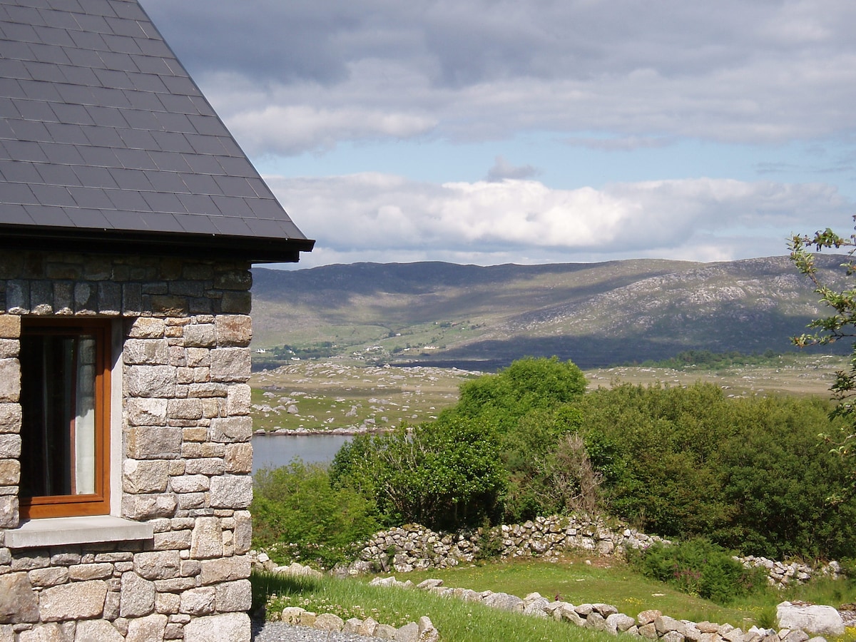 Hut site in BallinaleamaHut site · 1268 yd
 Duck IslandIslet · 1372 yd
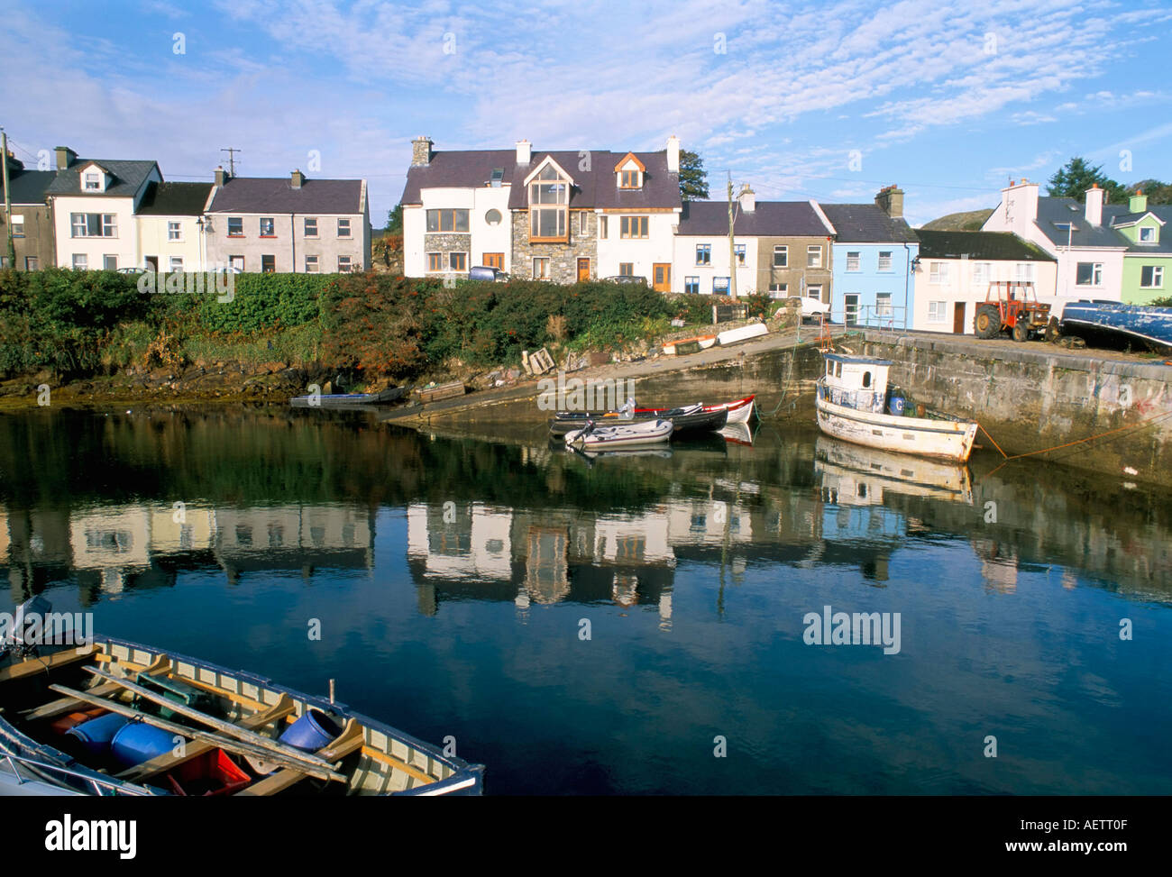 CarrickaroneIslet · 1572 yd
 St. Caillins Chapel (in ruins)Church · 1.0 mi
 Penitential station in KeerhaunmorePenitential station · 1.0 mi
 Riding StableHeritage attraction · 1.5 mi
 Slyne HeadHeadland · 1.9 mi
 Doon HillMountain / peak · 3.2 mi
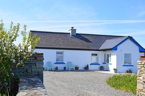 Bawn in Bunowen MoreBawn · 3.7 mi
 Mannin BayBay · 5.5 mi
 Mannin Bay Coral StrandBeach / strand · 5.8 mi