What is recorded here
Located on the summit of Slieve na Calliagh, c. 5m S of Cairn S and c. 6m W of Cairn T. A circular feature is visible on Digital Globe images (c. 2013) and Apple Maps. This is a circular grass-covered area (int. diam. 4.4-4.8m) defined by the low grass and moss-covered stones of a wall that are barely perceptible S-W-N and E-SE. It was first reported by Liam Kenny.
Compiled by: Michael Moore
Date of upload; 10 September 2020
The monument record does not grant public access. Check the route and ask the landowner before entering private land.
- What survives
- Recorded monument
Places near here
 Cairn SArchaeological place · 17 yd
 Hag's ChairArchaeological place · 47 yd
 Loughcrew Megalithic TombsHeritage attraction · 58 yd
 Slieve Na CalliaghMountain / peak · 142 yd
 LoughcrewMegalithic tomb cemetery · 1184 yd
 Carnbane WestMountain / peak · 1524 yd
 C11Named rock · 1568 yd
 indicatedChurch · 1.1 mi
 CastleCastle, unclassified · 1.2 mi
 Oliver Plunkett memorialMemorial · 1.2 mi
 Earthen TumulusCastle, motte · 1.3 mi
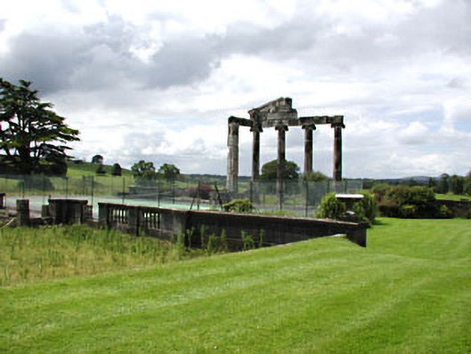 Loughcrew Housecountry house · 1.4 mi