What is recorded here
Possible hut sites visible on aerial photograph (GSIAP R3/15). No visible remains located at ground level when inspected by ASI in 1987.
Compiled by: Claire Breen
Date of upload: 19 August 2011
The monument record does not grant public access. Check the route and ask the landowner before entering private land.
- What survives
- Recorded monument
Places near here
 Rathnageeragh Castle (in ruins)Castle, unclassified · 1693 yd
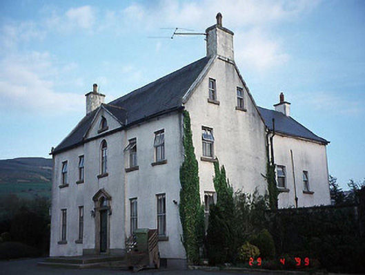 Hollybrook Househouse · 1.0 mi
 SlievebawnMountain / peak · 1.4 mi
 Enclosure in KnockendraneEnclosure · 1.4 mi
 CroaghaunMountain / peak · 1.4 mi
 Font in DrumfeaFont · 1.6 mi
 Saint Laserian's Catholic Churchchurch/chapel · 1.6 mi
 SycamoreSycamore · 1.9 mi
 Monkey-puzzleMonkey-puzzle · 1.9 mi
 CastleCastle, unclassified · 2.4 mi
 St Bridget's WellSpring · 2.9 mi
 Irish Hangliding and Paragliding AssociationMemorial · 2.9 mi