What is recorded here
On a ledge below the previous complex. Three huts and two circular clusters of stone which may represent collapsed huts.
(3) KE089-003002-; Located 7m E of (2), an overgrown circular hut with much collapse. D: 1.8m. H: .5m. T: .6m. The ledge is revetted on its N side by a poorly preserved field wall.
The above description is derived from A. O'Sullivan and J. Sheehan (compilers), 'The Iveragh peninsula: an archaeological survey of South Kerry'. Cork University Press (1996), no. 1183. In certain instances the entries have been revised and updated in the light of recent research.
Date of upload: 31 July 2013
The monument record does not grant public access. Check the route and ask the landowner before entering private land.
- What survives
- Recorded monument
Places near here
 SheepfoldsHut site · 447 yd
 BeenduffMountain / peak · 516 yd
 FoilcloghMountain / peak · 797 yd
 RoadRoad, road/trackway · 944 yd
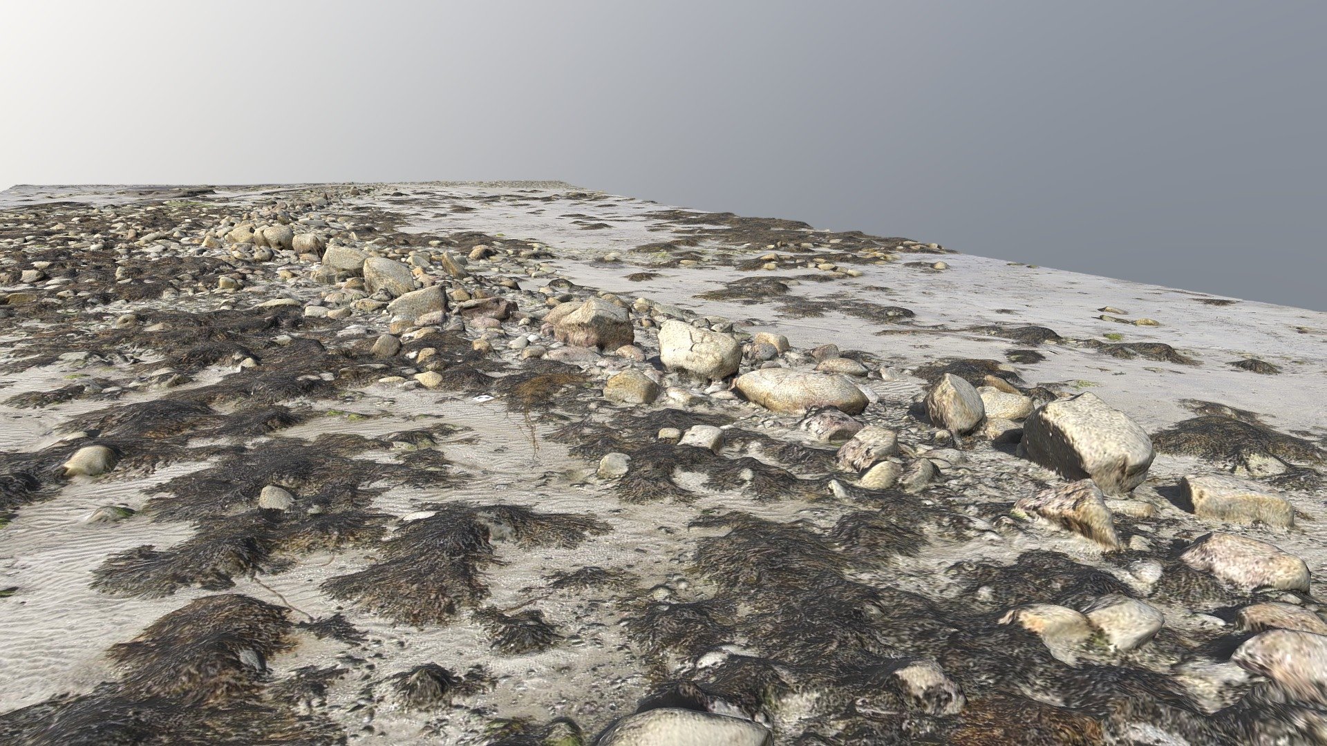 Field boundary in Cill Mhic Iarainn ThiarField boundary · 1479 yd
 Laharn Bog LoopWalking route · 2.5 mi
 Mc Crehins Castle (Site of)Castle, unclassified · 2.8 mi
 Scoil Náisiúnta Máistir Gaoithe [Mastergeehy National School]school · 2.9 mi
 Short Castle (Site of)Castle, unclassified · 3.0 mi
 Emlagh LoopWalking route · 4.6 mi
 Foughil IslandIslet · 4.6 mi
 Inny StrandBeach / strand · 4.9 mi