What is recorded here
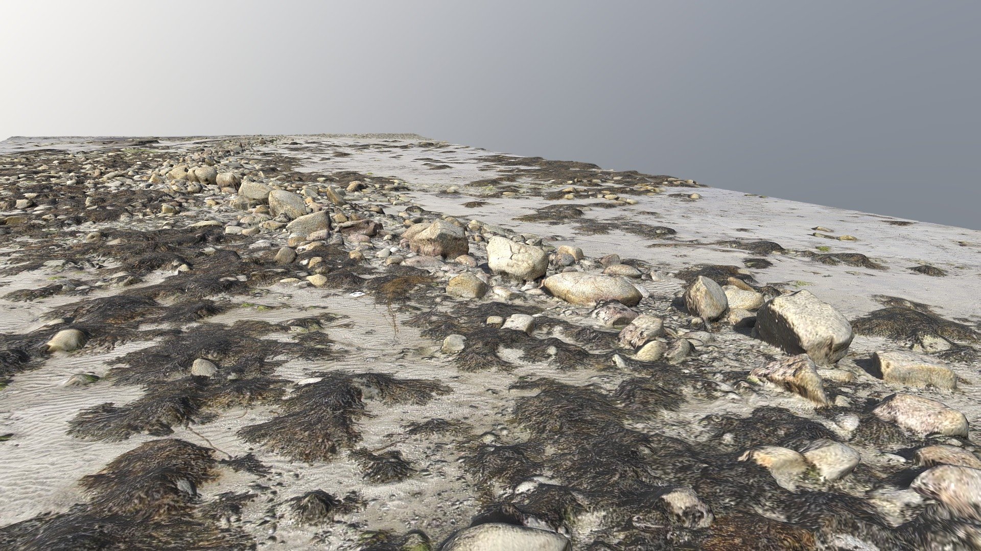
In rough, stony, hill grazing on shallow bog, on the lower S-facing slopes of Beenduff Mountain. The intermittent remains of relict field walls (T 0.6m; H 0.4m) occur in a roughly quadrilateral area (c. 150m E-W; c. 125m N-S). The mainly curvilinear walls protrude above the surface of shallow bog and are in a collapsed state with rubble embedded in the bog on the downslope side of the walls. Several gaps occur in the walls. (O'Sullivan and Sheehan 1996, 409-10, no. 1337)
The above description is derived from the published 'Archaeological Inventory of County Kerry. Volume I: South-West Kerry' (Dublin: Stationery Office, 2009). In certain instances the entries have been revised and updated in the light of recent research.
Date of upload: 30 May 2011
The monument record does not grant public access. Check the route and ask the landowner before entering private land.
- What survives
- Recorded monument
Places near here
 CloghaunHut site · 342 yd
 CloughaunHut site · 659 yd
 BeenduffMountain / peak · 965 yd
 FoilcloghMountain / peak · 1077 yd
 RoadRoad, road/trackway · 1.4 mi
 Dromod Church (in Ruins)Church · 2.4 mi
 Laharn Bog LoopWalking route · 3.0 mi
 Mc Crehins Castle (Site of)Castle, unclassified · 3.2 mi
 Short Castle (Site of)Castle, unclassified · 3.8 mi
 Emlagh LoopWalking route · 3.9 mi
 Inny StrandBeach / strand · 4.1 mi
 Reenrow BeachBeach / strand · 4.3 mi
Other information
Photo: Credit not shown in the picture search · Rights wording not checked; contact us if this picture should be removed