What is recorded here
During the Late Bronze Age the lake level seems to have dropped considerably and an E-W ridge (dims c. 36m x c. 20m) became available but activity extended beyond this in every direction. An initial stage saw the establishment of four concentrations of stone and a structure (diam. c. 6m) consisting of six posts in an arc NE-S-W around an oval hearth (dims 1.05m x 0.75m) (Bradley 1997, 50-2). Artefacts included two quernstones, a bone spindle whorl, sherds of coarse pottery and a bronze hair-ring. Two open air hearths (diam. 0.8m 0.9m) are also associated with this phase (Bradley 1991, 12-3; 1997, 50-2; 1999, 13-15; O’Sullivan 1998, 81-3).
Compiled by: Michael Moore
Date of upload: 6 September 2018
The monument record does not grant public access. Check the route and ask the landowner before entering private land.
- What survives
- Recorded monument
Places near here
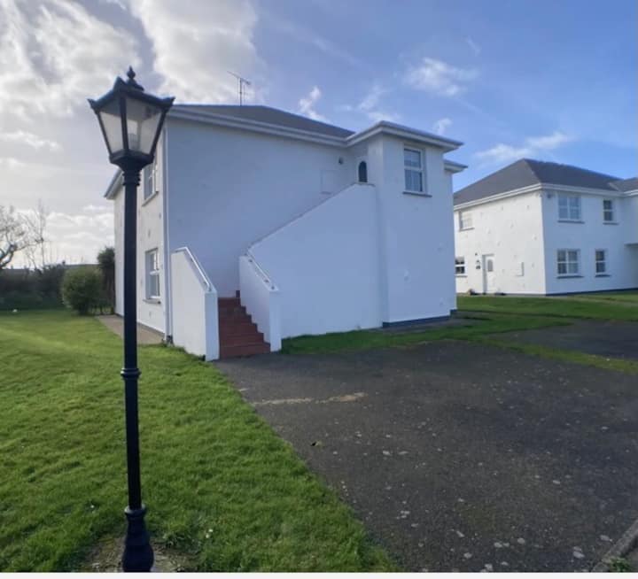 Enclosure in BrittasEnclosure · 509 yd
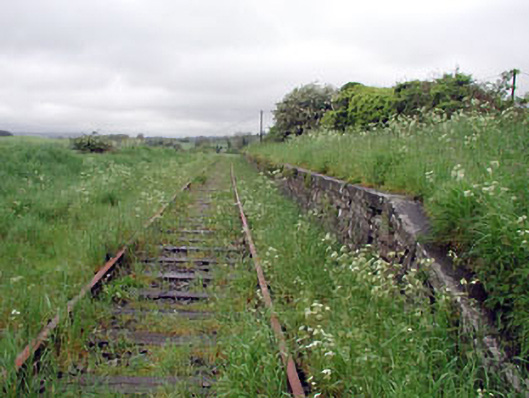 Nobber Railway Stationplatform · 560 yd
 Nobber GreenwayMemorial · 564 yd
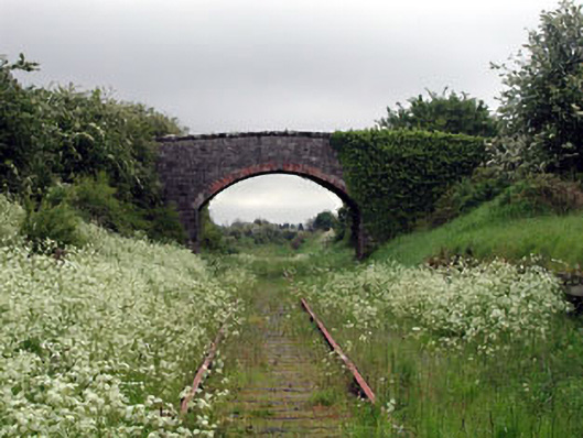 bridgebridge · 567 yd
 Cross in NobberCross · 622 yd
 MoatCastle, motte and bailey · 701 yd
 Common LimeCommon Lime · 759 yd
 Cherburg WoodForest · 1222 yd
 Gallows HillMountain / peak · 1419 yd
 Ugly HillMountain / peak · 1.6 mi
 Bawn in Robertstown (kells Lower By.)Bawn · 2.4 mi
 Owenroe and Moynalty DrainageMemorial · 3.1 mi