What is recorded here
Situated on a steep W-facing slope overlooking a ravine. Two rectangular hut foundations defined by earth and stone walls (Wth 1-1.2m; H 0.4m). The N example (dims. 6m N-S; 4m E-W) has a large slab at the NE corner suggesting an entrance while the second hut (dims. 9.7m E-W; 6.8m N-S) is 3m to the SW and has an entrance indicated by two large prostrate slabs at the W end.
The above description is derived from the published 'Archaeological Inventory of County Wicklow' (Dublin: Stationery Office, 1997). In certain instances the entries have been revised and updated in the light of recent research.
Date of upload/revision: 17 December 2008
The monument record does not grant public access. Check the route and ask the landowner before entering private land.
- What survives
- Recorded monument
Places near here
 Fairy fort / earthen ringfort in WoodenboleyFairy fort / earthen ringfort · 735 yd
 Church MountainMountain / peak · 794 yd
 Enclosure in Kilbaylet LowerEnclosure · 1137 yd
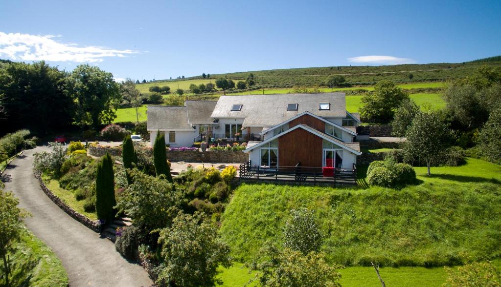 Toor LodgeRuins · 1.1 mi
 PinnacleMountain / peak · 1.8 mi
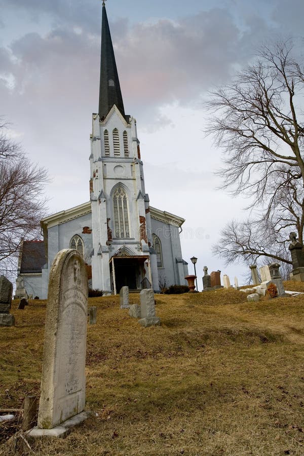 Church (in Ruins), Grave YardChurch · 1.8 mi
 Pedunculate OakPedunculate Oak · 1.8 mi
 Burial ground in CrehelpBurial ground · 2.1 mi
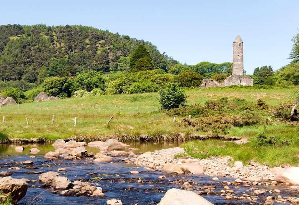 Ball MoatCastle, motte · 2.2 mi
 Hollywood SignHeritage attraction · 2.6 mi
 Saint Kevin's CaveMemorial · 2.7 mi
 Castle BankCastle, motte and bailey · 2.8 mi