What is recorded here
Situated on NE facing slope of rising ground in upland are with Aghragh Stream immediately to the S. Possible hut site indicated by three contiguous orthostats (avg. H 0.8m; Wth 0.45m) at NW and a single orthostat at SE with an earthen bank at W defining a roughly rectangular sunken area (1.9m x 1.7m) which may represent the remains of a possible hut site.
The monument record does not grant public access. Check the route and ask the landowner before entering private land.
- What survives
- Recorded monument
Places near here
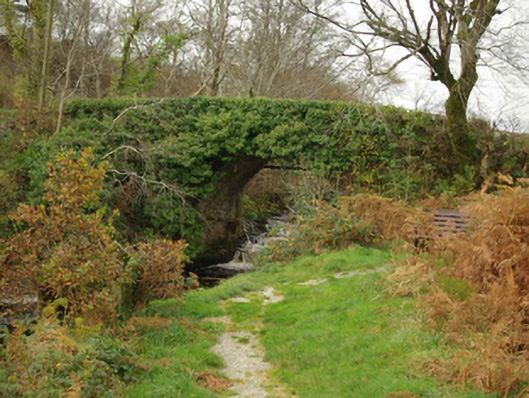 Droichead an Charraig Íochtarachbridge · 1653 yd
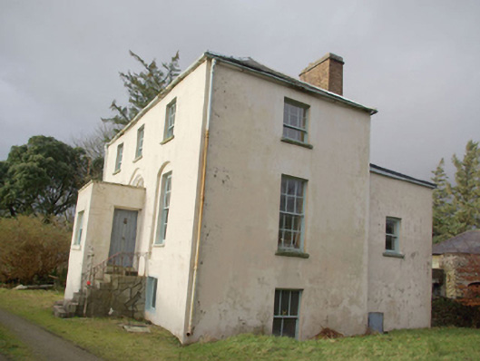 Roxborough Eaglais na hÉireann Reachtaireachtrectory/glebe/vicarage/curate's house · 1.1 mi
 Cruachlann Stone EnclosureEnclosure · 1.3 mi
 An Seanbhaile Coastal Promontory FortPromontory fort, coastal · 1.3 mi
 International Appalachian Trail Ulster-IrelandWalking route · 1.3 mi
 Cliffs at TeelinPublicly named cliff or headland · 1.5 mi
 Slieve League SE TopMountain / peak · 1.6 mi
 Dundawoona Point / Pointe an DúinHeadland · 2.0 mi
 Slieve LeagueMountain / peak · 2.2 mi
 CroaghmuckrosMountain / peak · 3.3 mi
 TraloarBeach / strand · 3.3 mi
 TrabaneBeach / strand · 3.7 mi