What is recorded here
This is one of five house sites (see also GA009D026001-, GA009D026002-, GA009D026003- and GA009D026005-) recorded by Westropp (1911, Part 2, 62-3 (a) to (e)) to the E of ‘Dunmore’ promontory fort (GA009D024----), along a natural terrace to either side of low ridge of hills. This particular one (ibid., (c)) was located in full view of the promontory fort and was reduced to its foundations; it had ‘four circular cells, 6 feet [1.8m] wide, and with walls 3 feet [0.9m] thick, grouped round a court, or larger cell, 11 feet [3.3m] by 9 feet [2.7m].’ (ibid.). Despite a fairly extensive search, it was not located.
Compiled by: Olive Alcock
Date of upload: 14 November 2022
The monument record does not grant public access. Check the route and ask the landowner before entering private land.
- What survives
- Recorded monument
Places near here
 DoonmorePromontory fort, coastal · 875 yd
 Dun Mor CliffsCliff · 916 yd
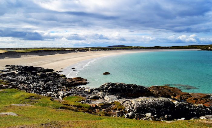 North BeachBeach / strand · 940 yd
 PollatlooaCave · 1062 yd
 Ecclesiastical enclosure in WestquarterEcclesiastical enclosure · 1088 yd
 West Quarter BeachBeach / strand · 1404 yd
 CarrickmoreIslet · 1671 yd
 InishbofinIsland · 1.1 mi
 Stags of BofinIslet · 1.1 mi
 Inishbofin Signal TowerRuins · 1.2 mi
 Barrack PointHeadland · 1.3 mi
 Vincent Josef O'HalloranMemorial · 1.4 mi