What is recorded here
In an area of rough pasture. This subrectangular house site (8m E-W; 5.15m N-S) is defined by a low bank of stone and earth from W to N to S. It is unclear if it is the house noted by McCaffrey (1952, 284) or else a smaller house close to or on the site of the former.
Compiled by: Olive Alcock
Date of upload: 21 September 2017
The monument record does not grant public access. Check the route and ask the landowner before entering private land.
- What survives
- Recorded monument
Places near here
 IndicatedFairy fort / ringfort · 596 yd
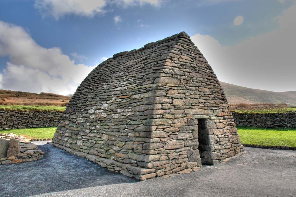 Enclosure in TulliraEnclosure · 750 yd
 Rahaly Castle (in ruins)Castle, tower house · 1158 yd
 Church (in ruins)Church · 1427 yd
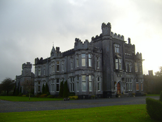 Tullira Castlecountry house · 1567 yd
 HawthornHawthorn · 1.6 mi
 European ashEuropean ash · 1.6 mi
 Ballylee CastleCastle, tower house · 1.7 mi
 Drumharsna CastleHeritage attraction · 3.2 mi
 Kilmacduagh Monastic SiteVisitor information · 7.2 mi
 Mulroney's IslandIslet · 7.5 mi
 IllananireyIslet · 8.3 mi