What is recorded here
On St. Kieran's Street within the walled Hightown of Kilkenny City. Wall foundations (L 4m E-W; Wth 0.6m) corresponding to the E part of a house shown on the 1758 map of Kilkenny by John Rocque. Uncovered in archaeological monitoring (12E0222) by Cóilín Ó Drisceoil immediately to the S of the medieval house known as Kyteler's Inn (KK019-026111-) and incorporating a probable medieval slip that formerly ran to its S (O'Cochlain 1968; Farrelly et al 1993, 92; Tobin and Coughlan 2012; Ó Drisceoil 2014).
Compiled by: Cóilín Ó Drisceoil
Date of upload: 5 November 2020
The monument record does not grant public access. Check the route and ask the landowner before entering private land.
- What survives
- Recorded monument
Places near here
 The Marble City Barhouse · 43 yd
 Griffinhouse · 44 yd
 Emling's Hall (site of)Archaeological place · 114 yd
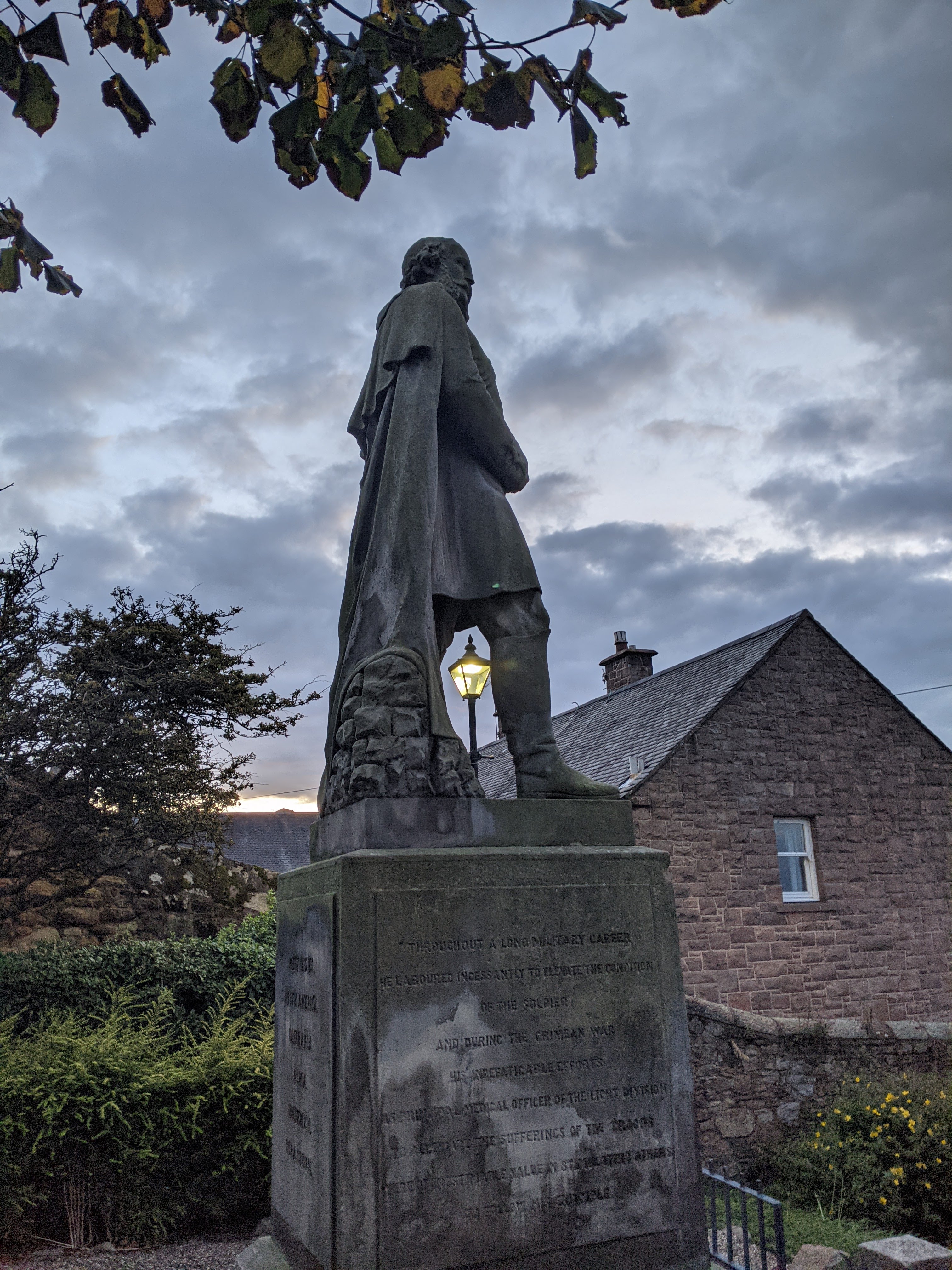 Thomas Woodgate MonumentMemorial · 120 yd
 Kilkenny CourthouseVisitor information · 122 yd
 Grace's Old CastleCastle · 147 yd
 TholselHeritage attraction · 147 yd
 Kilkenny Old Jail and CourthouseVisitor information · 162 yd
 Smithwick's Brewery ExperienceHeritage attraction · 173 yd
 Graveslab in Gardens (kilkenny City By., St. Mary’s Par.)Graveslab · 185 yd
 Rothe familyMemorial · 202 yd
 Black PoplarBlack Poplar · 620 yd