What is recorded here
The rath (MO029-025001-) is bisected by a NNE-SSW field bank and a rectangular house site is just E of this feature. This is a rectangular area (int. dims 3.75m WNW-ESE; 3m NNE-SSW) defined by low banks (Wth 1-1.6m; H 0.2-0.4m) with an entrance (Wth 0.6m) in the E wall. One corner of this house is separated off with a bank that has a small opening to the interior of the house.
Date of revised upload: 29 August 2017
The monument record does not grant public access. Check the route and ask the landowner before entering private land.
- What survives
- Recorded monument
Places near here
 Man-made underground passage in CarrickykellyMan-made underground passage · 571 yd
 Lisinabragh fortFairy fort / earthen ringfort · 1010 yd
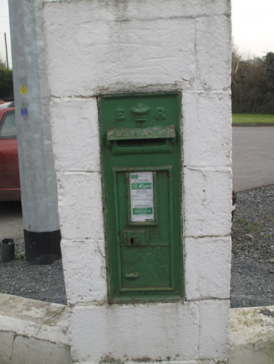 post boxpost box · 1307 yd
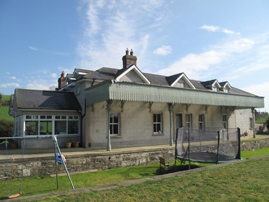 Inishkeen Railway Stationrailway station · 1386 yd
 CastleCastle, unclassified · 2.4 mi
 Mount AshCastle, motte · 3.1 mi
 Ballsmill Amenity LandPicnic place · 4.5 mi
 Sky HillMountain / peak · 4.6 mi
 MEDIEVAL & POST-MED. CHURCH & GRAVEYARD in Creggan Bane GlebeMEDIEVAL & POST-MED. CHURCH & GRAVEYARD · 4.8 mi
 Battle of Newry Roadbattle · 4.9 mi
:no_upscale()/cdn.vox-cdn.com/uploads/chorus_asset/file/25593391/County_Louth_6th.jpg) LouthMountain / peak · 4.9 mi
LouthMountain / peak · 4.9 mi Irish Hunger StrikersMemorial · 5.9 mi
Other information
Photo: Credit not shown in the picture search · Rights wording not checked; contact us if this picture should be removed