What is recorded here
Kilgobnet/Cill Ghobnait : KE052-003001- lies within 300m of the sea-cliffs less than a mile N of Dunquin Harbour. It is comprised of a sub-circular enclosure, located at the E side of a larger enclosure which may simply be a later field. The only features visible within the former are 2 large penitential cairns, but several possible house foundations are discernible at the W side of the large enclosure. About 100m to SW, on the side of an immense outcrop of rock, there is a stone cross, and Tobar Ghobnait (KE052-005----) lies c. 120m to W of this again. Rounds are still performed at each of the monuments on February 11th (St. Gobnait's feast day).
The larger, sub-rectangular enclosure measures c. 47 x 48m internally. It is defined by stone field walls and may be a late feature. A series of cultivation ridges occupy much of the interior but the foundations of 3 or 4 possible house sites are still traceable, their walls now reduced to low banks of earth and stone.
The above description is derived from J. Cuppage, ‘Corca Dhuibhne. Dingle Peninsula archaeological survey. Ballyferriter. Oidhreacht Chorca Dhuibhne’ (1986), no. 838. In certain instances the entries have been revised and updated in the light of recent research.
Date of upload: 8 August 2013
The monument record does not grant public access. Check the route and ask the landowner before entering private land.
- What survives
- Recorded monument
Places near here
 Kilgobnet Penitential StationPenitential station · 35 yd
 Stone CrossCross · 119 yd
 Enclosure in Ceathrú An FheirtéaraighEnclosure · 176 yd
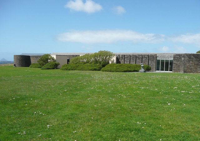 Ionad an Bhlascaoid MhóirMuseum · 585 yd
 Dunquin Church (in ruins)Church · 1117 yd
 Mullach Charraige LéitheMountain / peak · 1212 yd
 Dún BinneHeadland · 1540 yd
 Ceann SrathaNamed rock · 1640 yd
 Tráigh ChloichirBeach / strand · 1.4 mi
 Cruach MhárthainMountain / peak · 1.7 mi
 Traigh an ChomaBeach / strand · 1.9 mi
 Dunmore HeadViewpoint · 2.0 mi