What is recorded here
(6) (KE079-016009-) This rectangular building is located adjacent to the wall chamber at NW and utilises the caher wall as its NE side-wall. Measuring 4.2m x 3.3m internally, it features a .6m wide entrance in its SE end-wall. Its walls average 1m wide and were preserved to a height of .6m. The excavators suggested that both it and house (5) were built subsequent to the construction of (4).
The above description is derived from A. O'Sullivan and J. Sheehan (compilers), 'The Iveragh peninsula: an archaeological survey of South Kerry'. Cork University Press (1996), no. 602. In certain instances the entries have been revised and updated in the light of recent research.
Date of upload: 29 July 2013
This monument is subject to a preservation order made under the National Monuments Acts 1930 to 2014 (PO no. 85/1940).
The monument record does not grant public access. Check the route and ask the landowner before entering private land.
- What survives
- Recorded monument
Places near here
 Leacanabuile Ring FortArchaeological place · 14 yd
 Cathar-na-CathFairy fort / stone ringfort · 274 yd
 KilnKiln, corn-drying · 332 yd
 Ballycarbery CastleRuins · 1146 yd
 Ballycarbery Castle (in ruins)Castle, hall-house · 1150 yd
 CastleCastle, unclassified · 1150 yd
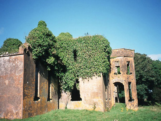 Castlequincountry house · 1.0 mi
 Foughil IslandIslet · 1.0 mi
 White Strand BeachBeach / strand · 1.2 mi
 Killelan MountainMountain / peak · 1.9 mi
 SlievaghMountain / peak · 2.0 mi
 Beginish IslandIsland · 2.2 mi